
The mountainous region of Nghe An is preparing response plans for Typhoon No. 3.
Due to the influence of super typhoon No. 3, Nghe An province is highly likely to experience widespread heavy rain, especially in the western region.
Therefore, local authorities are urgently inspecting and urging the implementation of response plans to minimize damage.
Officers who are closely monitoring the local area.
On the morning of September 5th, after attending the opening ceremony at the school, officials from localities in Nghe An province went on field trips to inspect and supervise preparations for responding to super typhoon number 3, internationally named Yagi.
In Na Ngoi commune, Ky Son district, while inspecting vulnerable areas in Ka Duoi village, Mr. Tho Ba Re - Vice Chairman of the District People's Committee - stated that Na Ngoi is one of the communes at high risk of landslides during heavy and prolonged rainfall.

In particular, since the flash floods in October 2022, the roads leading to this border commune have only recently had dozens of landslides repaired. Therefore, when there is a forecast of heavy rain and floods, the District People's Committee requests that the local authorities not be negligent or complacent, but closely monitor the area to promptly assess the situation.
“The Standing Committee and the Executive Committee of the District Party Committee have been assigned tasks and are responsible for various aspects of work. Regarding responding to the risks of floods and storms, according to the assigned areas from the beginning of the term, we have all directly gone to the communes and villages to assess the situation and supervise response efforts. After inspecting the situation in Na Ngoi commune, I will go to Muong Tip and Muong Ai according to the plan and tasks that have been updated to the cadres and Party members in the communes and villages,” Mr. Tho Ba Re said.
Mr. Tho Ba Re also added that, according to preliminary statistics, there are currently 43 landslide and landslide risk points in Ky Son district due to the impact of the rains in 2023 and early 2024. Of these, 28 points have already experienced landslides (21 mountain landslides and 7 riverbank landslides); and 15 points are at risk of mountain and riverbank landslides.
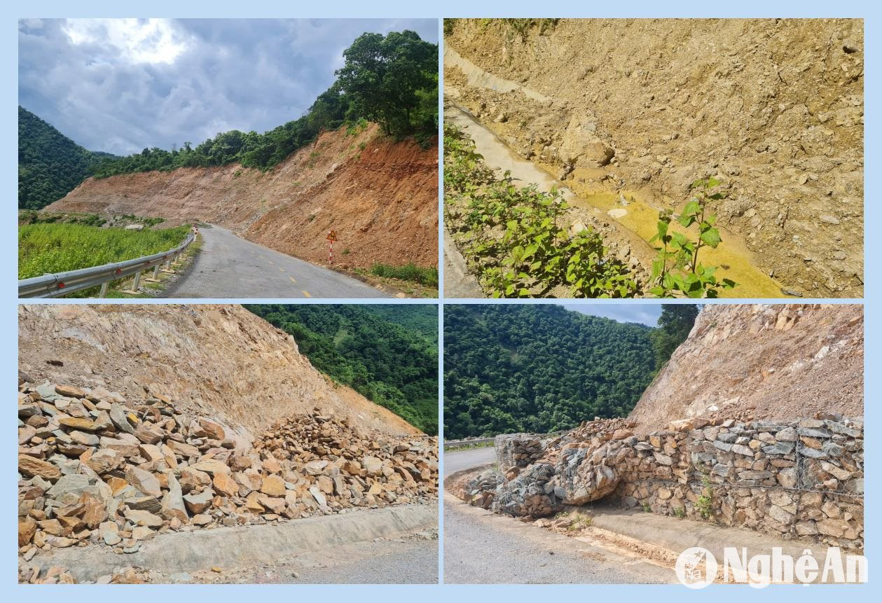
Not only in Ky Son district, but other high-altitude districts are also urgently inspecting and urging villages to harvest crops and reinforce vulnerable points before heavy rain is forecast when typhoon No. 3 makes landfall.
In Que Phong district, following the issuance of the directive "Responding to the storm near the East Sea," on the afternoon of September 4th, leaders of the district People's Committee departments and offices directly visited communes, villages, and hamlets to supervise preparation work.
In particular, "areas at high risk of landslides are required to closely monitor the storm's developments and direct the timely and effective implementation of response measures according to the 'four on-the-spot' principle." From the afternoon of September 5th, the District People's Committee issued a directive with more specific requirements for communes and forces to implement storm response plans," said Mr. Phan Trong Dung, Head of the Agriculture and Rural Development Department of Que Phong District.
Assess the situation and develop a response plan.
In Tuong Duong district, statistics from the District People's Committee show that many areas are currently at risk of flash floods, landslides, and flooding, especially those located on high hills and mountains, along streams and inter-communal and inter-village roads in the communes and towns. Examples of areas prone to flash floods include: Quang Phuc, Quang Yen, Quang Thinh, and Dinh Phong villages (Tam Dinh commune); Co Phao, Na Khom, Yen Son, Xop Pu, and Xieng Nua villages (Yen Na commune); Pung, Luu Thong, Luu Phong, and Xoong Con villages (Luu Kien commune); Huoi Xa, Huoi To II, and Cha Lo villages (Mai Son commune); Huoi Co, Huoi Pung, Con Phen, Tung Hoc, and Xan villages (Huu Khuong commune); and many other villages in Yen Hoa, Nga My, Xieng My, and Luong Minh communes.
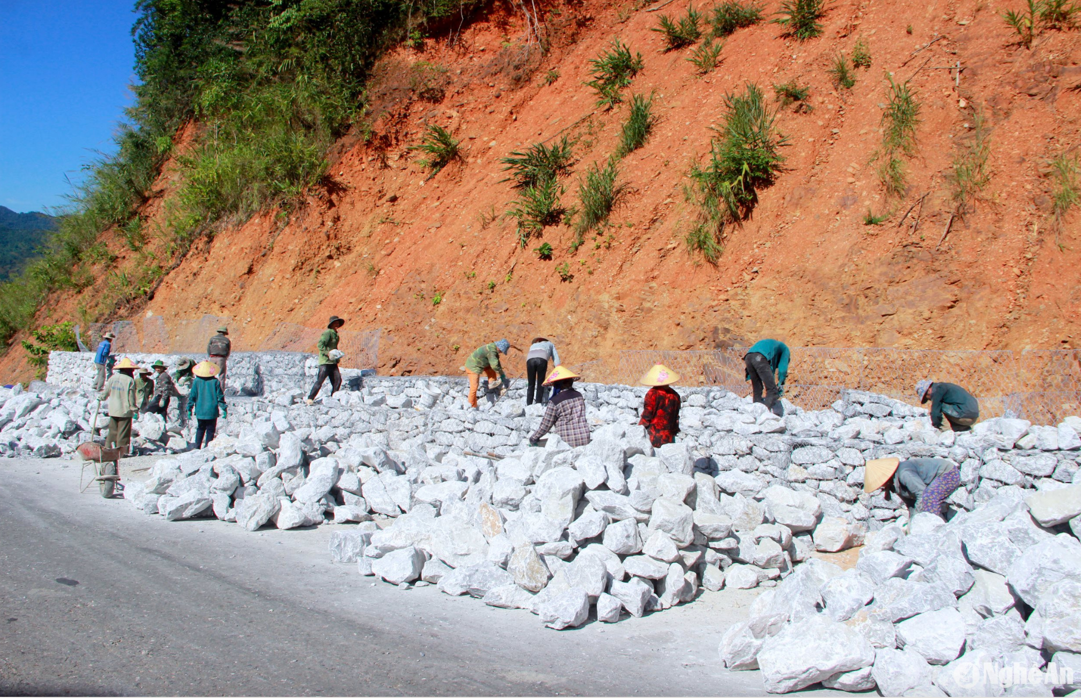
Many roads are threatened by landslides, such as: National Highway 7A through Mon village, Thach Giam town; Road 543C; the road to Na Be and Hop Thanh villages in Xa Luong commune; along National Highway 7A from Khe Kien to Pung village, Luu Kien commune; the road from the intersection in Tam Thai commune to Tam Hop commune…
Besides updating and assessing the situation, the People's Committee of Tuong Duong district also directed response plans. These included requiring agencies and units located in the district and the People's Committees of communes and towns to guide and remind people living in areas at risk of being affected to reinforce their houses and store food supplies in case they are cut off.
When heavy rain lasts for several days, water levels in streams and ravines begin to rise, and the rain is forecast to continue. Absolutely no activities on the river, such as boats, fish cages, or shelters in streams and ravines, should be allowed. Move people and vehicles away from areas at risk of landslides, flash floods, and mudslides to safe locations. Control traffic in flooded areas, ferry terminals, and road crossings to guide people and vehicles.
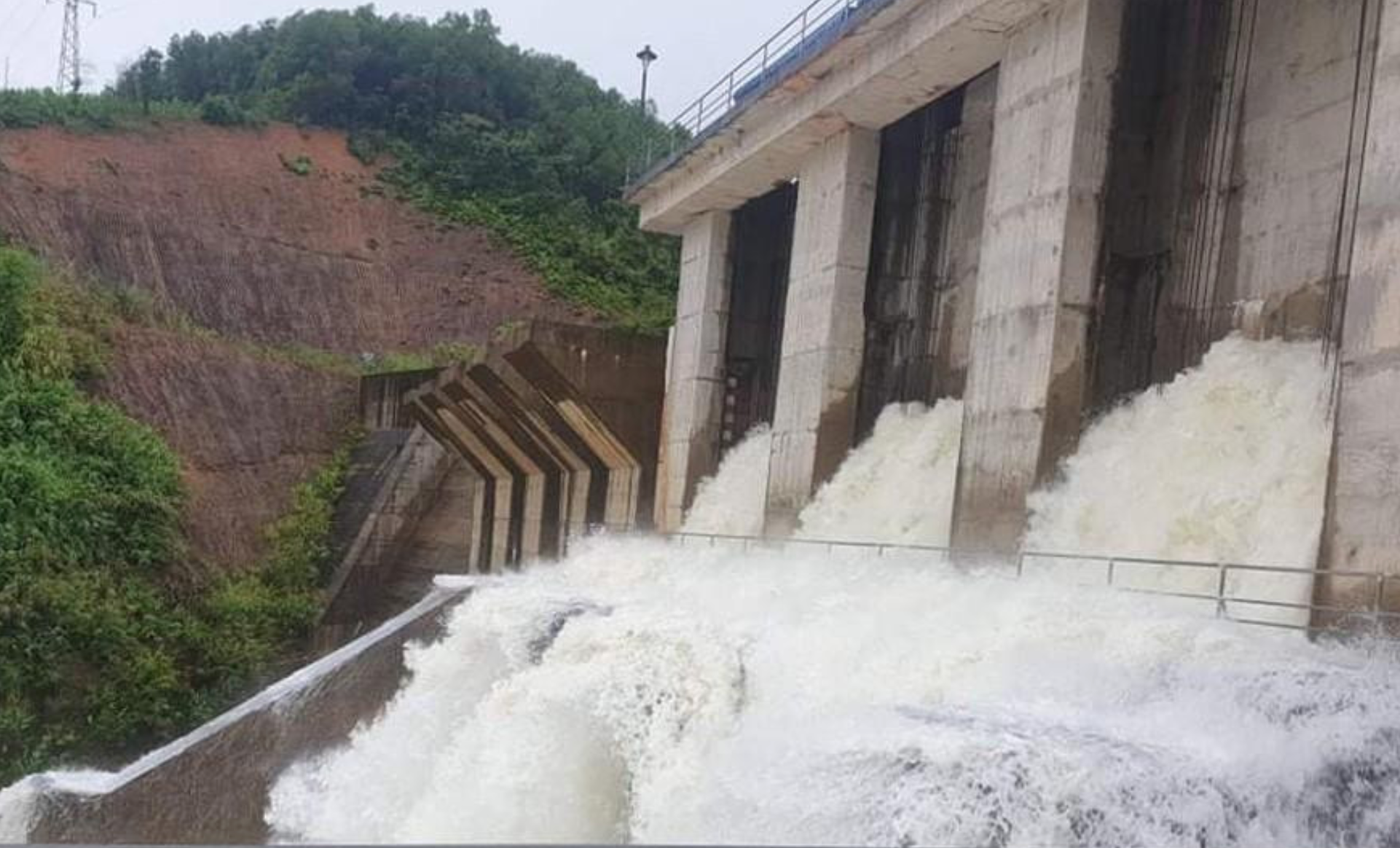
Along with local authorities, armed forces units are also urgently directing the implementation of response plans. Colonel Ho Quyet Thang, Deputy Commander of the Provincial Border Guard Command, said that border guard units are ready to support the government and people in preventing and combating natural disasters. The Provincial Border Guard Command has issued three directives instructing units to implement response plans to Typhoon Yagi.
Specifically, the directive instructs units to strictly maintain duty rosters, ensuring sufficient personnel, equipment, and communication systems, ready to participate in handling any potential situations. It also proposes that the Provincial People's Committee issue a ban on sea travel on September 6th to ensure the safety of fishermen's lives and property.

“For units along the land border, we require the deployment of forces in coordination with local authorities to inspect and review residential areas along rivers, streams, dikes, lakes, dams, and low-lying areas at high risk of flooding, flash floods, and landslides, in order to disseminate information, issue warnings, or evacuate people to safe places. We also assign forces to coordinate with local authorities to control and guide traffic safely, especially across submerged bridges, overflows, and areas with deep water and strong currents. We are ready with forces and equipment to help people overcome the consequences of natural disasters. The Provincial Border Guard Command has established two inspection teams to monitor the implementation of response measures to Typhoon No. 3 at units throughout the province,” Colonel Ho Quyet Thang stated.


