Risk of "erasing" the road along the Nam Non river
(Baonghean.vn) - After the heavy floods, the Cua Rao - Luong Minh (Tuong Duong) route is at risk of being cut off and separated due to landslides and subsidence. If there is no timely solution, most of this route may be "erased" in the next floods.
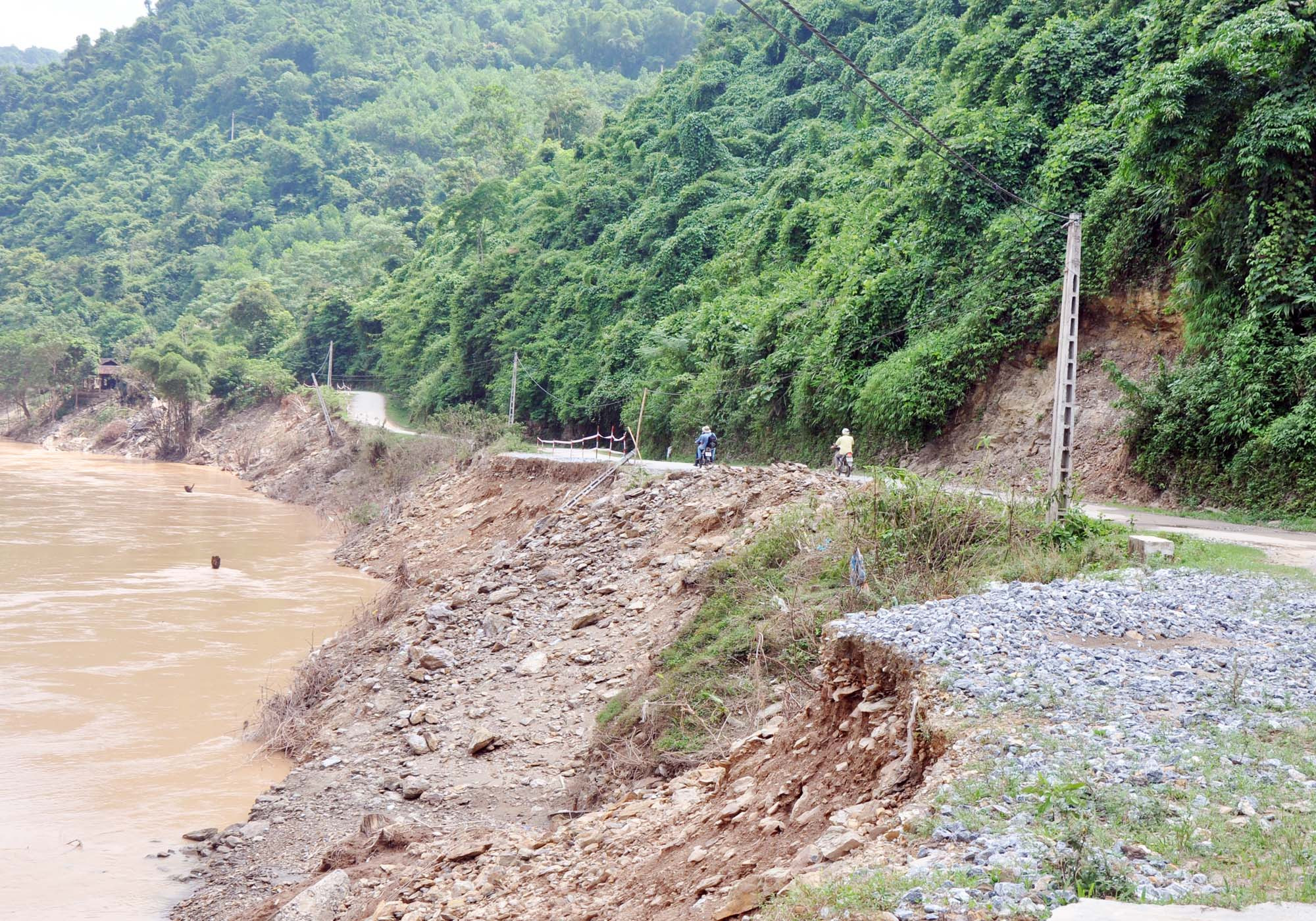 |
| The Cua Rao - Luong Minh (Tuong Duong) route is about 20km long, running along the left bank of the Nam Non River, and is the traffic artery of the villages in the central area of Luong Minh commune. The recent floods have forced dozens of households in Luong Minh commune to evacuate their houses due to landslides and subsidence. Many sections of the road have also suffered serious landslides, with some sections eroding about 50% of the road surface. Photo: Cong Kien |
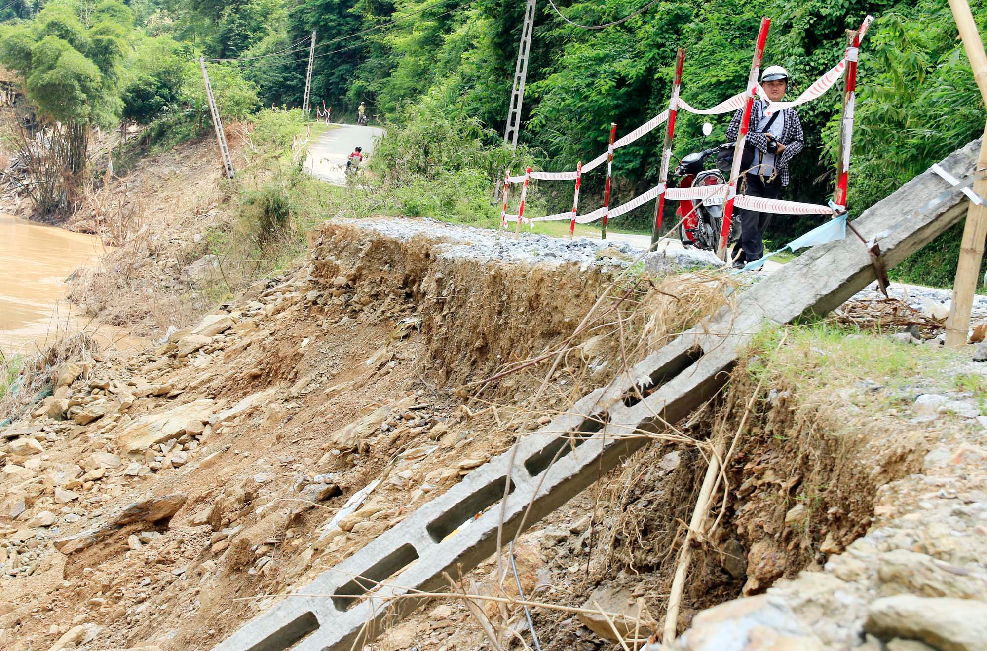 |
| The road surface and an electric pole were swept into the river, the water eroded straight into the roadbed causing landslides, creating frog jaws, becoming a "trap" for road users. It is worth mentioning that the road surface and roadbed are continuing to erode dangerously. Photo: Dinh Tuan |
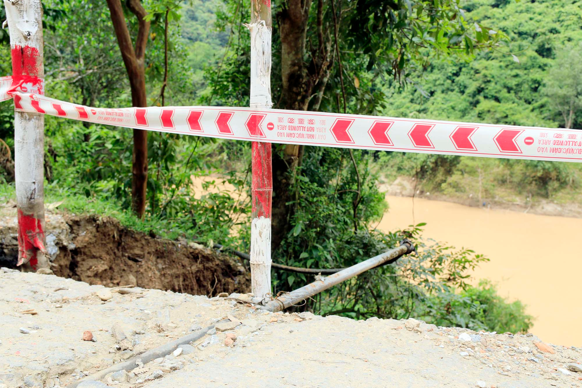 |
| The landslide exposed clean water pipes buried underneath. |
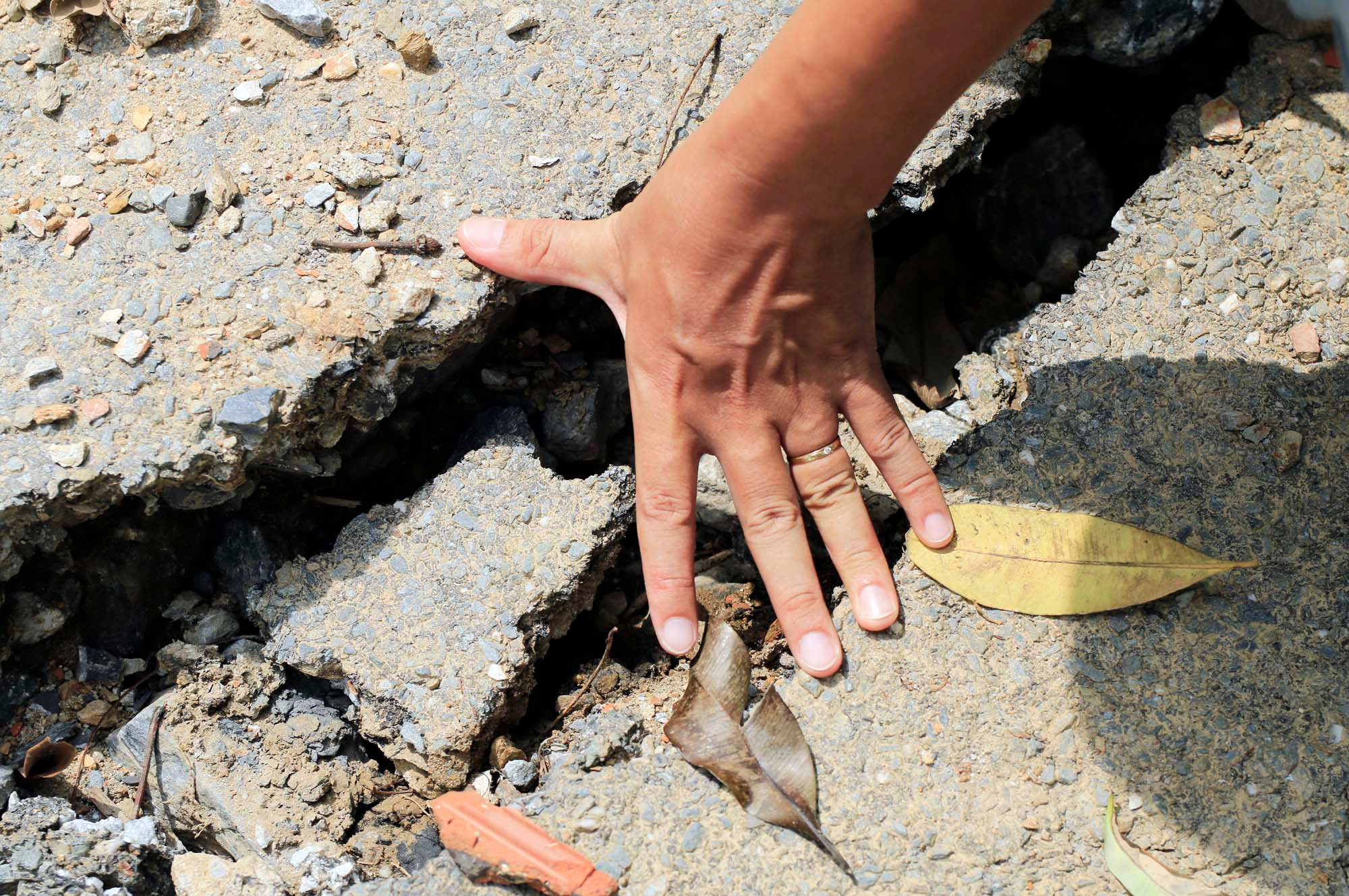 |
| Many areas of the road surface have sunk with long and wide cracks, signaling the risk of further landslides during heavy rains and floods. Photo: Dang Cuong |
 |
| Not only the road surface and the negative slope are eroded and sunk, but many positive slope sections are also at risk of collapsing at any time. Photo: Cong Kien |
