Warning: Tropical depression likely to strengthen into storm
(Baonghean.vn) - In the past 6 hours, the tropical depression (TLD) has moved more slowly and tends to strengthen.
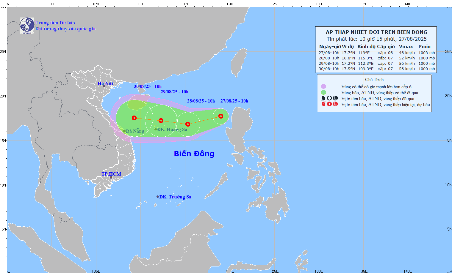
HOhi 10 hourson October 9, the center of the tropical depression is located at about 16.2 degrees North latitude; 111.3 degrees East longitude, right on the Hoang Sa archipelago, about 450km East Southeast of the coast of the provinces from Ha Tinh to Quang Tri. The strongest wind in the area near the center of the tropical depression is level 6-7 (40-60km/hour),level 9.
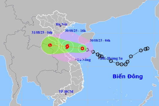
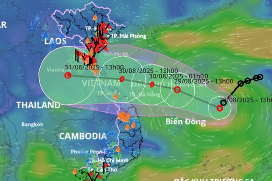
Duh12 hour noticeyeahtohi, The tropical depression moves mainly in the West direction, then changes direction to the West Northwest direction, traveling about 25km per hour and has the potential to strengthen into a storm.Until 10:00 p.m. on October 9, the center of the storm is located at about 17.0 degrees North latitude; 108.5 degrees East longitude, on the sea of provinces from Ha Tinh to Quang Tri. The strongest wind near the center of the storm is level 8 (60-75km/hour),level 10
 |
| Path and location of the tropical depression. Photo: Central Center for Hydro-Meteorological Forecasting |
Duhreport within the next 12 to 24 hours, the storm continued to move in the West Northwest direction, about 25km per hour, making landfall in the provinces from Ha Tinh to Quang Tri and weakening into a tropical depression.As of 10:00 on October 10,The center of the tropical depression is located at about 18.0 degrees North latitude; 105.8 degrees East longitude, on the mainland of Ha Tinh-Quang Binh provinces. The strongest wind in the area near the center of the tropical depression is level 6 (40-50km/hour),level 8
Due to the influence of the following tropical depression that is likely to strengthen into a storm, today in the North East Sea area (including the waters of Hoang Sa archipelago), there will be showers and thunderstorms, strong winds of level 7-8,level 10. Very rough seas. Dangerous area in the next 24 hours (strong winds level 6 or higher) from latitude 14.0 to 18.0 degrees North; west of longitude 113 degrees East.
Wind warning at sea:From this afternoon (October 9), the northern Gulf of Tonkin and the sea area from Thanh Hoa to Quang Ngai (including Con Co, Hon Ngu, Cu Lao Cham, and Ly Son islands) will experience winds gradually increasing to level 6, while the area near the center of the tropical depression/storm will experience winds of level 7-8.level 10.
Strong Wind Warning on Land:Tonight, coastal areas of Thanh Hoa, Nghe An, Ha Tinh, Quang Binh, Quang Tri, Thua Thien Hue provinces will have strong winds of level 6.level 8.
Heavy rain warning on land:In the provinces from Thanh Hoa to Quang Ngai, there will be heavy to very heavy rain with total rainfall of 100-200mm; in Nghe An, Ha Tinh, Quang Binh, Quang Tri, it will be 200-250mm. The Northern Central Highlands, Southern Northern Delta, Hoa Binh, Phu Tho, Yen Bai and Southern Son La will have moderate to heavy rain (50-100mm).Disaster risk level: level 3.
Pear Flower
(Synthetic)
| RELATED NEWS |
|---|


.png)

