Strong wind warning on Hon Ngu island waters
(Baonghean.vn) - Due to the influence of the storm combined with cold air, the sea area from Quang Tri to Quang Ngai (including Hon Ngu, Cu Lao Cham, and Ly Son islands) has strong winds of level 6, gusting to level 8. Rough seas.
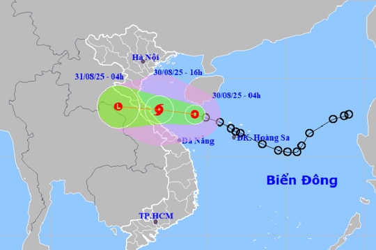
At 4:00 a.m. on October 16, the center of the storm is located at about 20.6 degrees North latitude; 110.2 degrees East longitude, in the southern area of Leizhou peninsula (China), about 270km East Northeast of Bach Long Vi island. The strongest wind near the center of the storm is level 9-10 (75-100km/hour), gusting to level 13.
 |
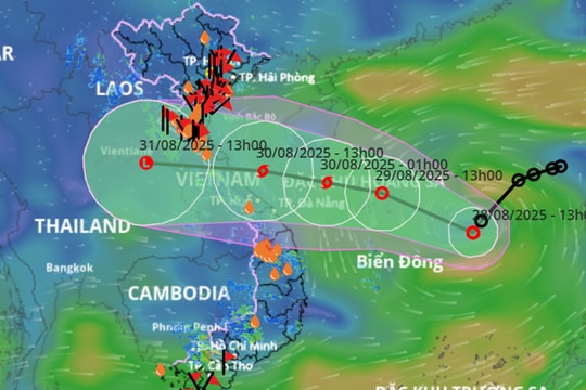
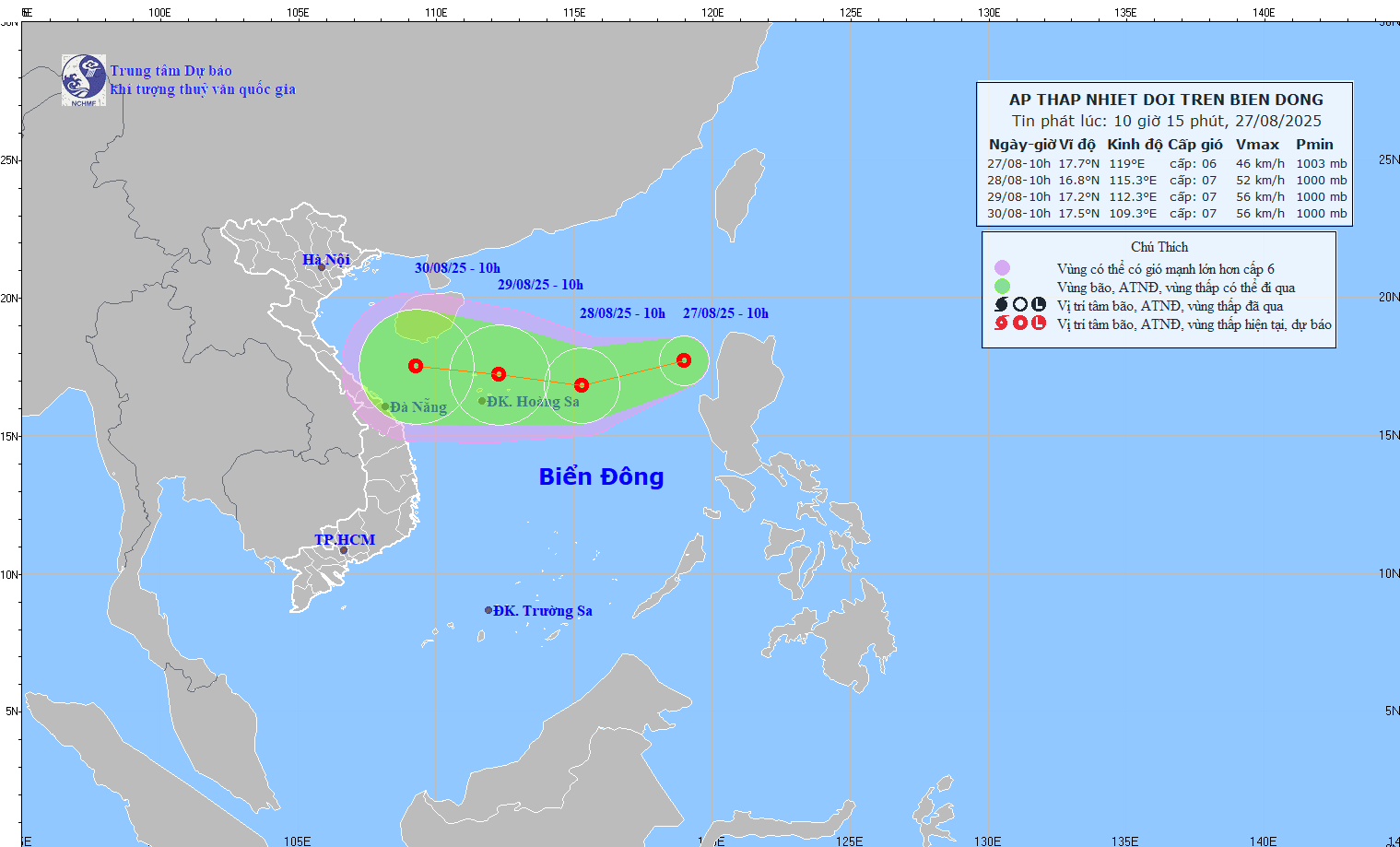
| Low pressure path and location. Photo: National Center for Hydro-Meteorological Forecasting |
Forecast for the next 12 hours,The storm is moving mainly in the southwest direction, traveling about 15km per hour and gradually weakening into a tropical depression. At 4:00 p.m. on October 16, the center of the tropical depression was at about 19.8 degrees North latitude; 108.9 degrees East longitude, about 130km East Southeast of Bach Long Vi Island. The strongest wind near the center of the tropical depression is level 6-7 (40-60km/hour), gusting to level 9.
Danger zone in the next 24 hoursdue to storms (strong winds level 6 or higher): North from latitude 17.0 degrees North; West from longitude 112.0 degrees East.
Forecast for the next 12 to 24 hours,The tropical depression moved southwest at a speed of 5-10km per hour and continued to weaken into a low pressure area. At 4:00 a.m. on October 17, the center of the low pressure area was at about 18.2 degrees North latitude; 107.8 degrees East longitude, in the southern part of the Gulf of Tonkin. The strongest wind in the center of the low pressure area decreased to below level 6 (below 40km/h).
Strong wind warning at sea:Due to the influence of the storm combined with cold air, the Gulf of Tonkin has strong winds of level 6-7; the northern part of the Gulf of Tonkin (including Bach Long Vi island) has winds gradually increasing to level 8, gusting to level 10; rough seas.The sea area from Quang Tri to Quang Ngai (including Hon Ngu, Cu Lao Cham, and Ly Son islands) has strong winds of level 6, gusting to level 8. Rough seas.Disaster risk level: level 3.
Heavy rain warning on land:Due to the influence of storm circulation No. 11 combined with strengthening cold air, from now until the end of October 17, in the Northern and North Central provinces, there will be rain, moderate rain, especially in the Northeast, heavy rain, some places very heavy rain with total rainfall for the whole period commonly 50-100mm, in the East some places over 100mm.
Due to the influence of the southwest monsoon, the central and southern East Sea (including the Truong Sa archipelago), the Binh Thuan-Ca Mau, Ca Mau-Kien Giang sea areas continue to have showers and thunderstorms, southwest winds level 5, sometimes level 6, during thunderstorms there is a possibility of gusts of level 7-9; rough seas. Disaster risk level: level 1.
Pear Flower
(Synthetic)
| RELATED NEWS |
|---|


.png)

