Warning: Tropical depression may strengthen into tropical depression in the East Sea
(Baonghean.vn) - According to the National Center for Hydro-Meteorological Forecasting, the tropical depression will move quickly to the West and then directly affect the South Central and Southern provinces.
Present (November 15), a low pressure trough formed in the South China Sea and had an axis at about 5-8 degrees North latitude.
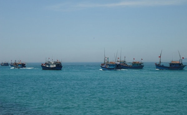 |
| Forecast for the sea area from Binh Thuan to Ca Mau, the South East Sea area (including the sea area of Truong Sa archipelago) will have thunderstorms and strong gusts of wind level 6-7. Illustrative photo |
Forecast for today and tomorrow (November 16),Due to the influence of the low pressure trough that tends to gradually strengthen, in the sea area from Binh Thuan to Ca Mau, the South East Sea area (including the sea area of Truong Sa archipelago) there will be thunderstorms and strong gusts of wind level 6-7.
Warning:In the next 1-2 days, a low pressure area will appear in the Truong Sa archipelago and is likely to strengthen into a tropical depression. The tropical depression will move quickly to the West and then directly affect the South Central and Southern provinces.
The development and movement of low pressure areas/tropical depressions are very complicated, please monitor the next warning bulletins.
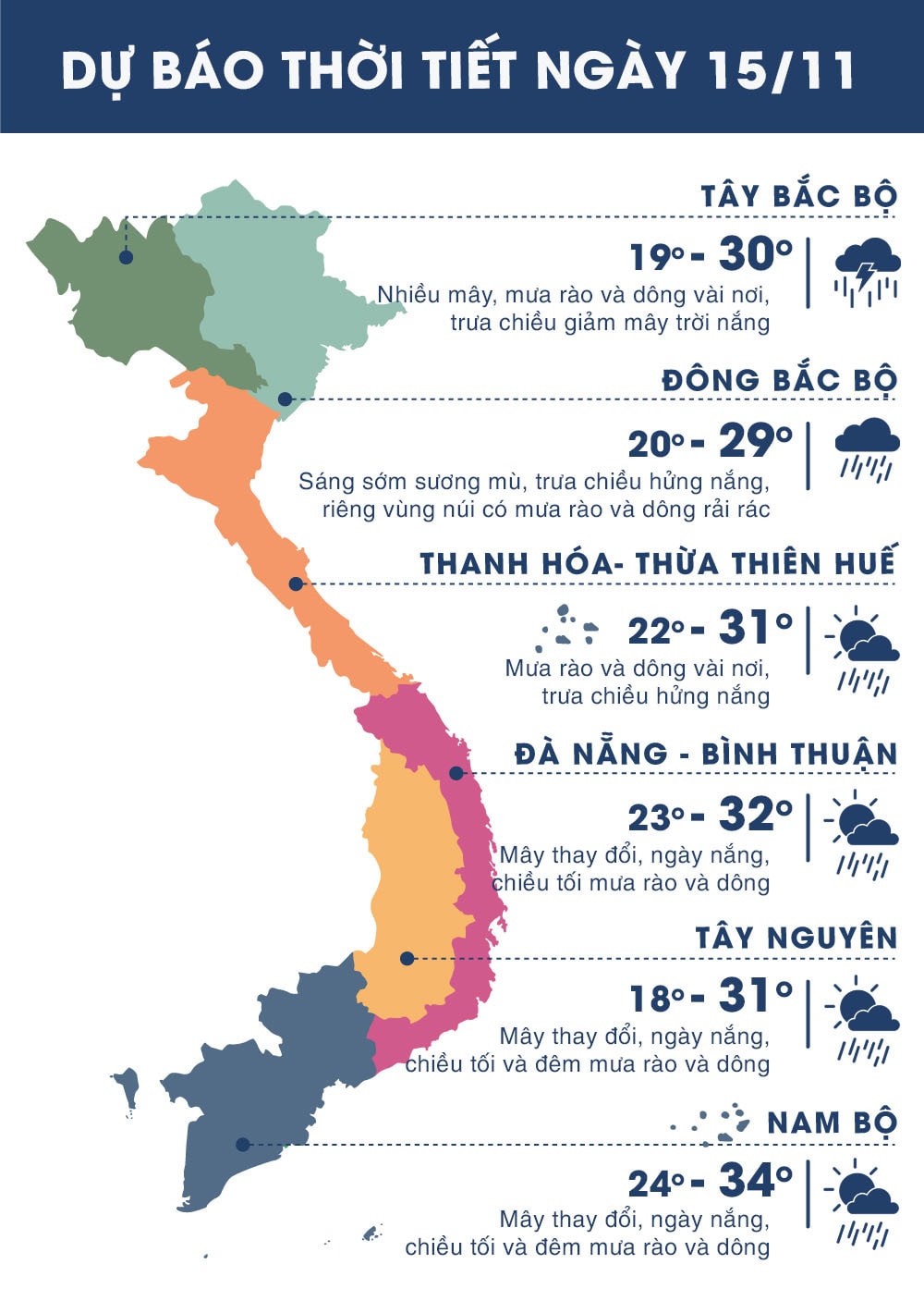 |
| Temperature on November 15 in regions across the country. Photo: news.zing.vn |


.png "Nghệ An chủ động ứng phó áp thấp có khả năng mạnh lên thành áp thấp nhiệt đới, mưa lớn, nguy cơ lũ quét, sạt lở đất")
