Tropical depression appears, rough seas
(Baonghean.vn) - Due to the influence of the tropical low pressure circulation, the northeastern sea area of the North East Sea has strong winds of level 6-7, gusts of level 9 and heavy thunderstorms. The sea is rough.
Early this morning (June 14)A low pressure area on the low pressure trough with axis 21-23 degrees North has strengthened into a tropical depression.
1 o'clock, the center of the tropical depression is at about 21.4 degrees North latitude; 117.8 degrees East longitude, the northeastern sea area of the North East Sea.The strongest wind in the area near the center of the strong tropical depression is level 6-7 (40-60km/h).level 9.
Forecast for the next 24 hours,The tropical depression is moving northeast at a speed of about 5km per hour. At 1am on June 15, the center of the tropical depression was at about 22.5 degrees North latitude; 119.2 degrees East longitude. The strongest wind near the center of the tropical depression is level 6-7 (40-60km/hour).level 9.
Dangerous areas in the East Sea in the next 24 hours: (strong wind level 6 or higher) North of latitude 19.0 degrees North; East of longitude 115.0 degrees East.
Due to the influence of the tropical low pressure circulation, the northeastern sea area of the North East Sea has strong winds of level 6-7, gusts of level 9 and strong thunderstorms. The sea is rough.Disaster risk level: level 3.
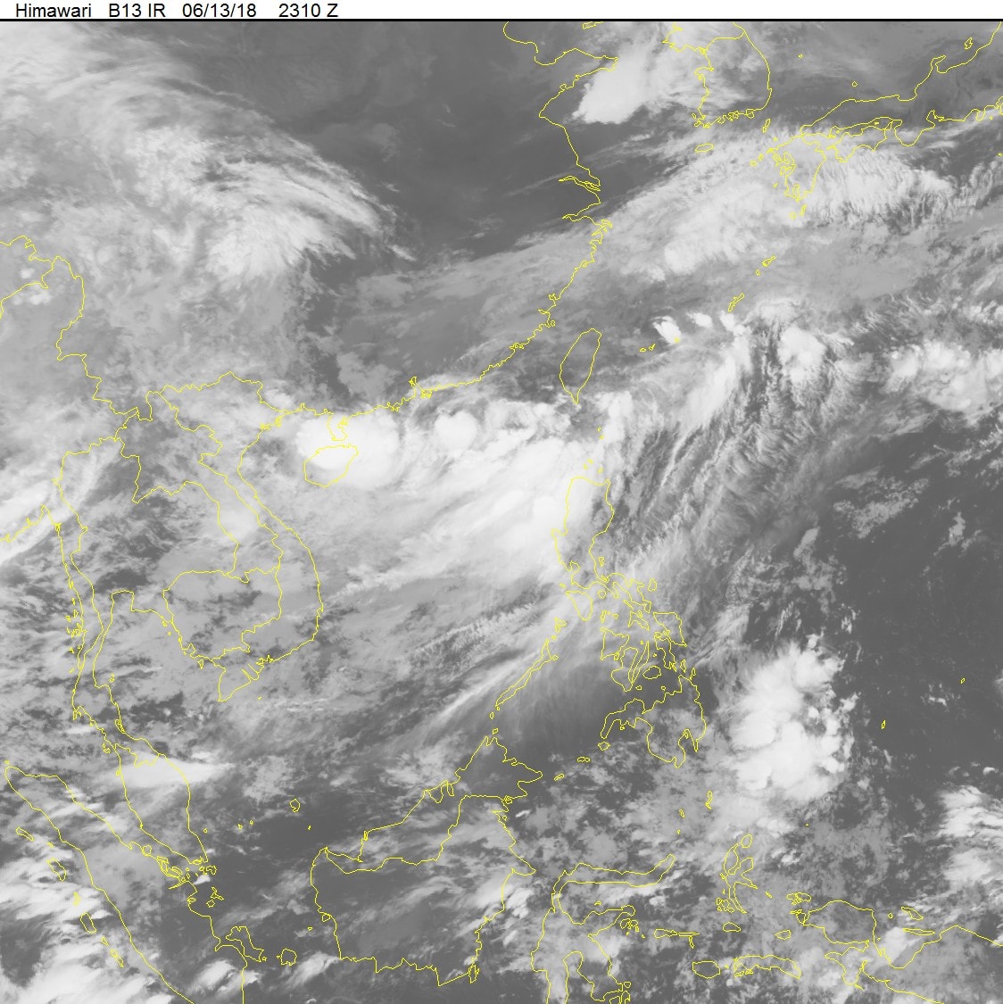 |
| Photo: National Center for Hydro-Meteorological Forecasting |
On land,Cao Bang and Lang Son provinces have had rain, moderate rain, heavy rain to very heavy rain in some places and scattered thunderstorms.
Forecast:Due to the influence of the low pressure trough analyzed above, in the northeastern provinces there will continue to be rain, some places will have moderate rain, heavy rain and scattered thunderstorms; in the evening and at night it will spread to other places in the North.
This rain will last until the night of June 16; mountainous areas will have moderate to heavy rain, especially in Ha Giang, Tuyen Quang, Lao Cai, and Yen Bai provinces, there is a high possibility of very heavy rain.
According to meteorological experts, compared to many previous years, this summer has been quite pleasant. The highest temperature in the first half of June in recent years has been 37.5-39 degrees Celsius, with a record high of 42.5 degrees on June 3 last year. However, the highest temperature in Hanoi on June 8 was only 37 degrees Celsius.
Thanh Hoa - Thua Thien Hue provinces will continue to be hot today with temperatures ranging from 33-36 degrees Celsius, some places above 36 degrees Celsius. From the evening and night of tomorrow (June 15), thunderstorms are likely to spread to the North Central provinces, especially Thanh Hoa and Nghe An provinces, where there will be moderate to heavy rain. During the thunderstorms, there is a possibility of tornadoes, hail and strong gusts of wind.
Da Nang - Binh Thuan area is sunny from early morning, highest temperature during the day is 32-36 degrees Celsius, at night many places are hot and humid 28 degrees.


.png "Nghệ An chủ động ứng phó áp thấp có khả năng mạnh lên thành áp thấp nhiệt đới, mưa lớn, nguy cơ lũ quét, sạt lở đất")
