Many landslides appeared in Hung Nguyen, people set up tents to take shelter when it rains.
(Baonghean.vn) - After the flood, in Hung Nguyen district (Nghe An), many serious landslides appeared, hundreds of households were worried because the rocks and soil could collapse at any time if it rains in the coming time.
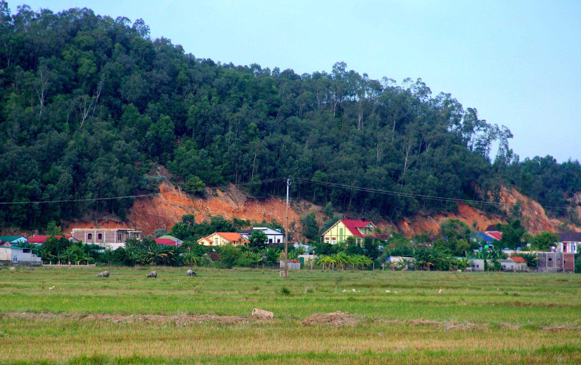 |
During the recent flood, Hung Nguyen district was not only flooded on a large scale but after the flood receded, many landslides appeared in the localities, affecting the lives of the people. In Hung Yen Nam commune, Lai and Ram hills had landslides hundreds of meters long right next to people's houses, visible to the naked eye from afar. Photo: Quang An |
 |
According to statistics of Hung Yen Nam commune, there are about 600 households living under these two peaks, stretching from hamlets 3, 4, 5, 6. Of these, 50 households are at high risk, their houses are only a few meters away from the peak, so they are forced to evacuate when there is heavy rain. Photo: Quang An |
 |
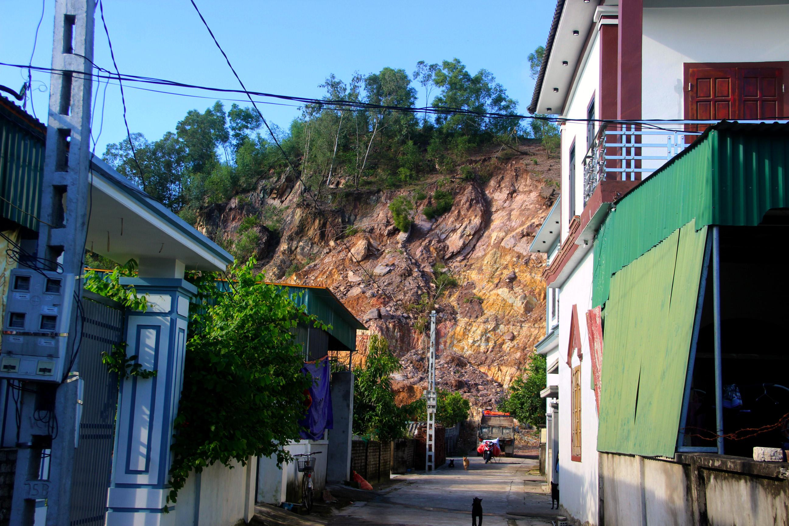
Layers of rock and soil at Lai hill, Hung Yen Nam commune continue to slide down every day, making people nervous and restless. Photo: Quang An |
 |
During the recent heavy rains, a serious landslide occurred in Lai hill, rocks and tree trunks fell on Mr. Nguyen Van Huan's house in hamlet 3. Luckily, at that time, his family had taken refuge at a relative's house in the area. Photo: Quang An |
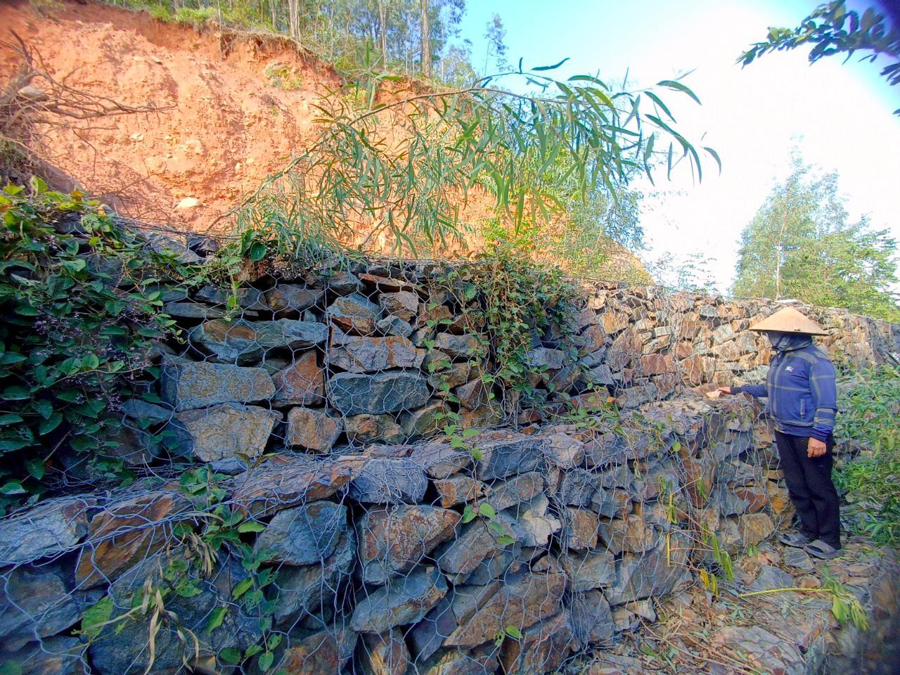 |
Because it is a vulnerable point that often experiences landslides, the local government has built dozens of meters of stone embankment at the foot of the mountain to protect the households below. However, this is a temporary measure because if there is a large landslide, soil and rocks can easily overflow this embankment, and people still have to evacuate when it rains heavily. Photo: Quang An |
 |
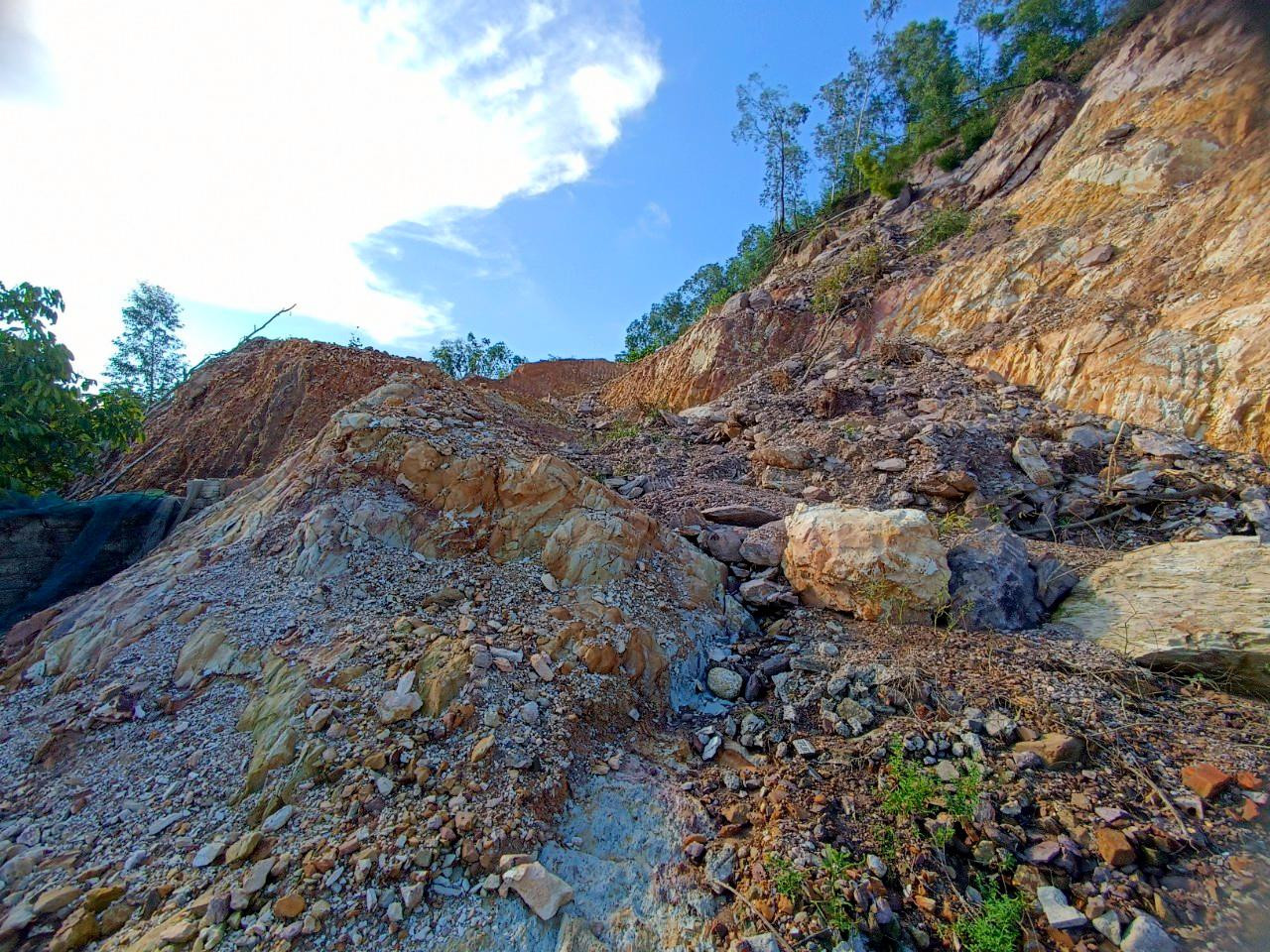
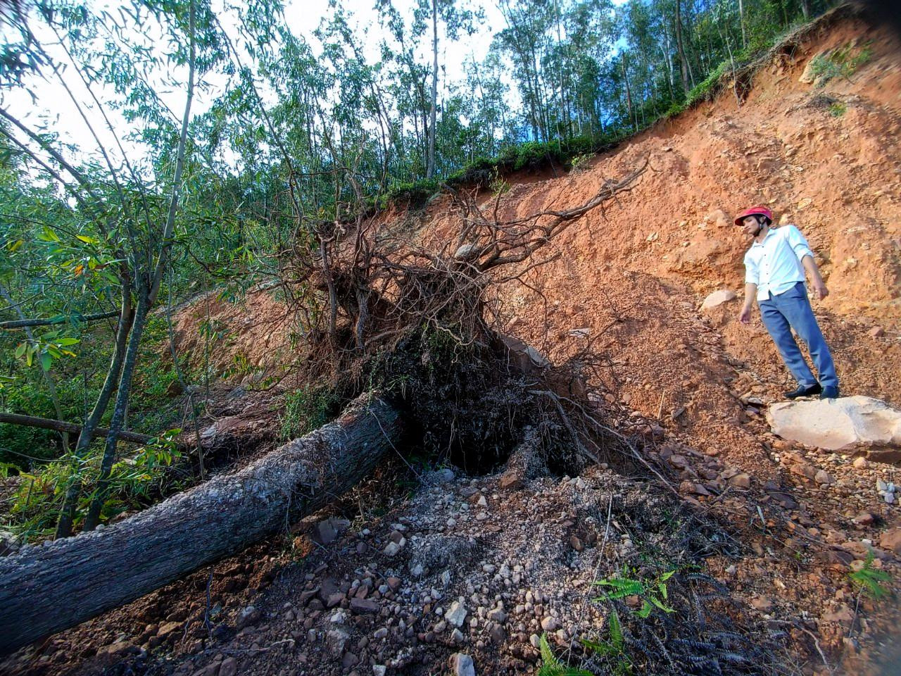
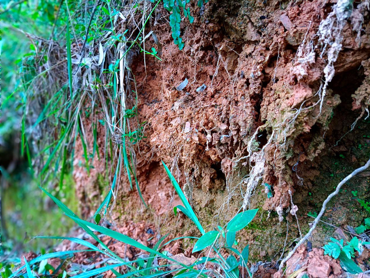
Landslides also occurred in Hung Thanh commune, Hung Nguyen district due to recent heavy rains. Of these, the most dangerous is the landslide at Tho Lo mountain, Phu Thanh hamlet, Hung Thanh commune. The crack is about 150 meters long, the subsidence is about 1 meter, forcing dozens of households below to evacuate when there is heavy rain. Photo: Quang An |
 |
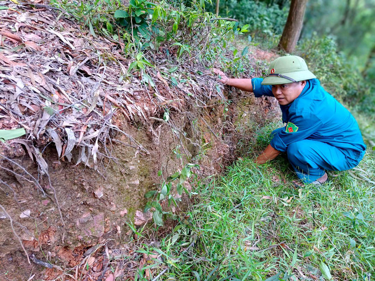
At the crack in Tho Lo mountain, the soil has become weak due to being soaked with rainwater for a long time and is at risk of collapsing at any time. Photo: Quang An |
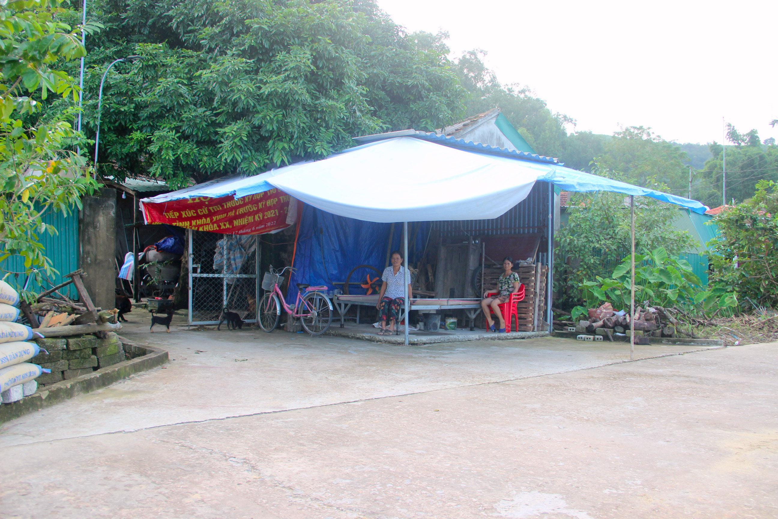 |
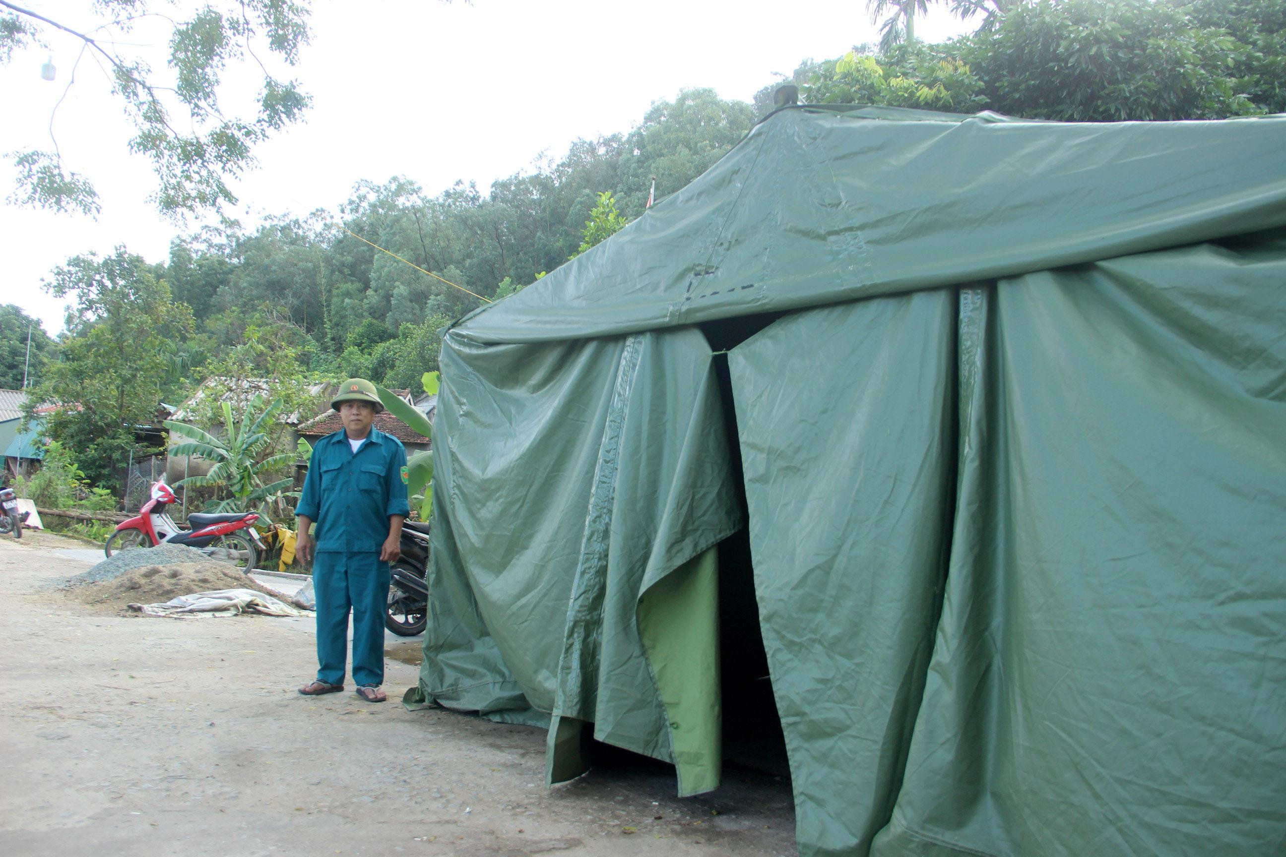
Worried about landslides, Ms. Bach Thi Lam's family in Phu Thanh hamlet, located right at the foot of Tho Lo mountain, had to set up a tent in front of their house to take shelter whenever it rained. Other households were always ready to evacuate when there was information about floods. It is known that at the foot of Tho Lo mountain, there are about 12 households with 55 people affected, of which 8 households are at high risk and need to evacuate. Photo: Quang An |
 |
Hung Thanh commune has also set up a command post at the foot of Tho Lo mountain and assigned forces to be on duty 24/7 to promptly handle any situations that arise. Photo: Quang An |
.png "Đáp án đề thi Tiếng Anh lớp 10 Hưng Yên năm 2025")


