Survey to lower the slope height of 4 landslide points on National Highway 48D
(Baonghean.vn) - The impact of storm No. 4 recently occurred on National Highway 48D with 4 landslides in Quynh Vinh commune, Hoang Mai town. Currently, the Vietnam Road Administration has surveyed to have a plan to lower the slope height at these landslides.
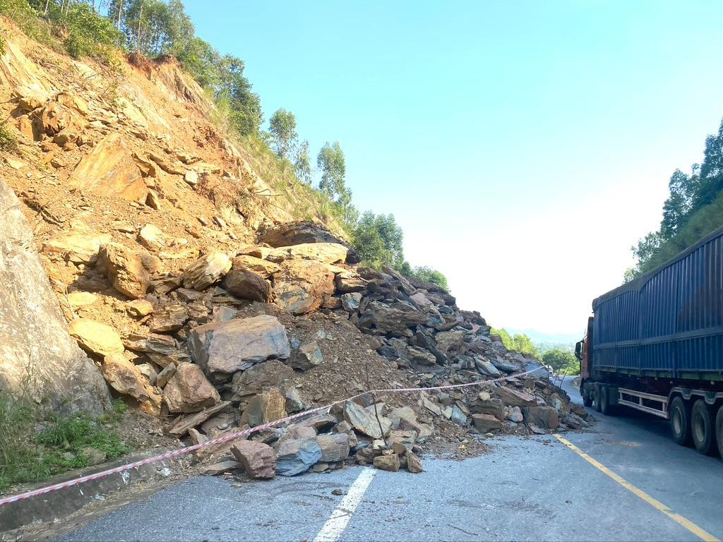 |
The landslide at km 19+100, Quynh Vinh commune, Hoang Mai town is still about 20,000 m3Rocks and soil occupying part of the roadway have been cordoned off, warning signs are being put up, awaiting a solution. Photo: Van Truong |
Due to prolonged heavy rain, from September 28On Highway 48D, there were 4 incidents.landslides, (3 landslides at km 26+700 passing through Quynh Thang commune, Quynh Luu district; 1 landslide at km 19+100 Quynh Vinh commune, Hoang Mai town).
In which, at Km19+100, Quynh Vinh commune, Hoang Mai town, the most serious landslide occurred, with rocks and soil falling from the mountain about 20,000 m.3blocking traffic
Immediately after the incident, the traffic management unit mobilized machinery to handle and clear the amount of rock and soil blocking the road.
Mr. Pham Van Hao - Vice Chairman of the People's CommitteeHoang Mai townsaid: During the rainy season, National Highway 48D passing through Hoang Mai town, landslides often occur in some locations, threatening the safety of people's lives and vehicles.
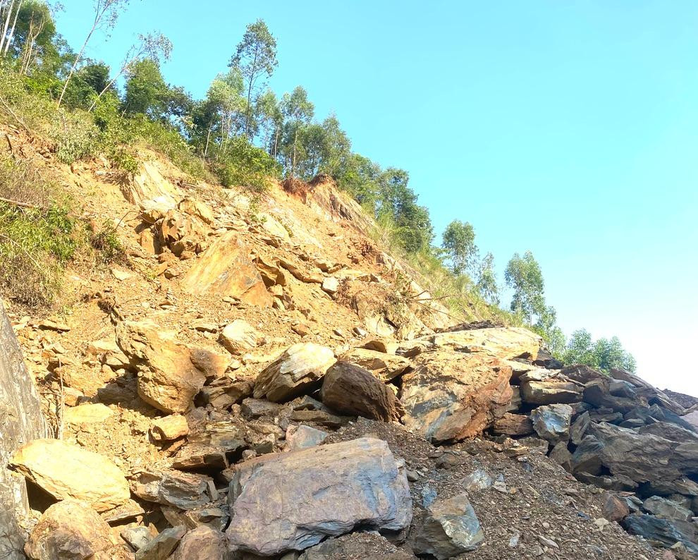 |
The landslide is located at Km19+100 of National Highway 48D, Quynh Vinh commune, on the mountain where there are still many hanging rocks. The Vietnam Road Administration has come to survey and come up with a plan to lower the height of the slope. Photo: Van Truong |
Currently at Km19+100 of National Highway 48D, Quynh Vinh commune section, although the road has been cleared, there is still a potential risk because on the top of the mountain there is a lot of soil and rocks hanging, which can roll down at any time, so it is necessary to have a solution to overcome and ensure traffic safety.
Faced with that situation, recently the Vietnam Road Administration has surveyed the landslide sites above to have a plan to lower the slope height. Particularly at the location Km19+100, with the largest volume of landslides, after lowering the slope, over 20,000 m will be cleared.3Landslide is at the foot of the mountain, ensuring safe traffic for 2 lanes./.
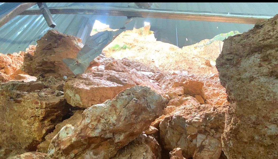
Landslide in Tan Ky, rocks and soil crashed through the wall of a house
04/10/2022
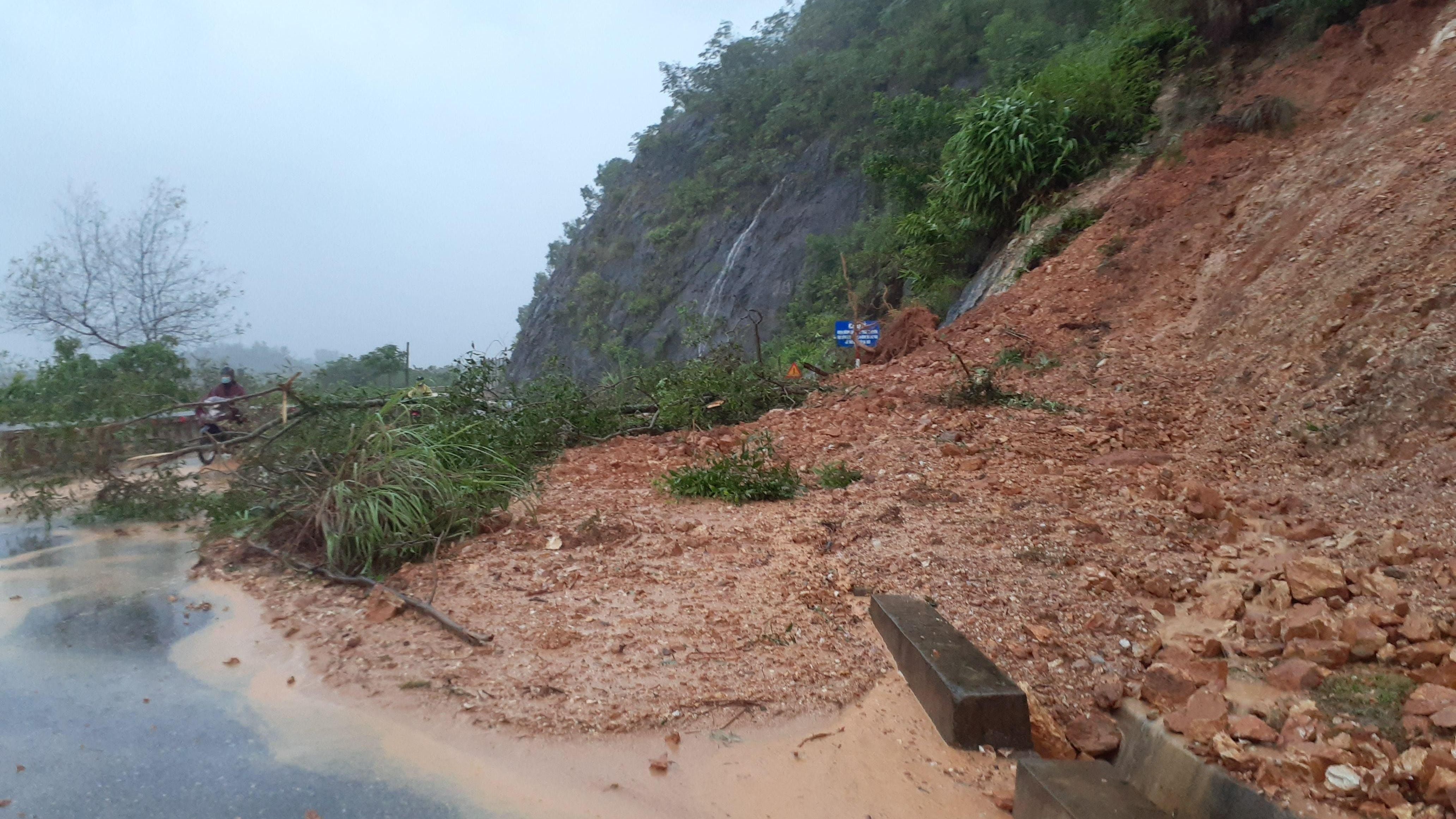
Nguoc Mountain in Thanh Chuong suffered a severe landslide.
29/09/2022


