The Standing Committee of Nghe An Provincial Party Committee approved the Project to adjust the general planning of Hoang Mai town until 2045.
Hoang Mai town is oriented to develop into 3 sub-regions with 3 separate functions. The goal is that by 2030, the entire town will become an urban area, with no more suburban residents.
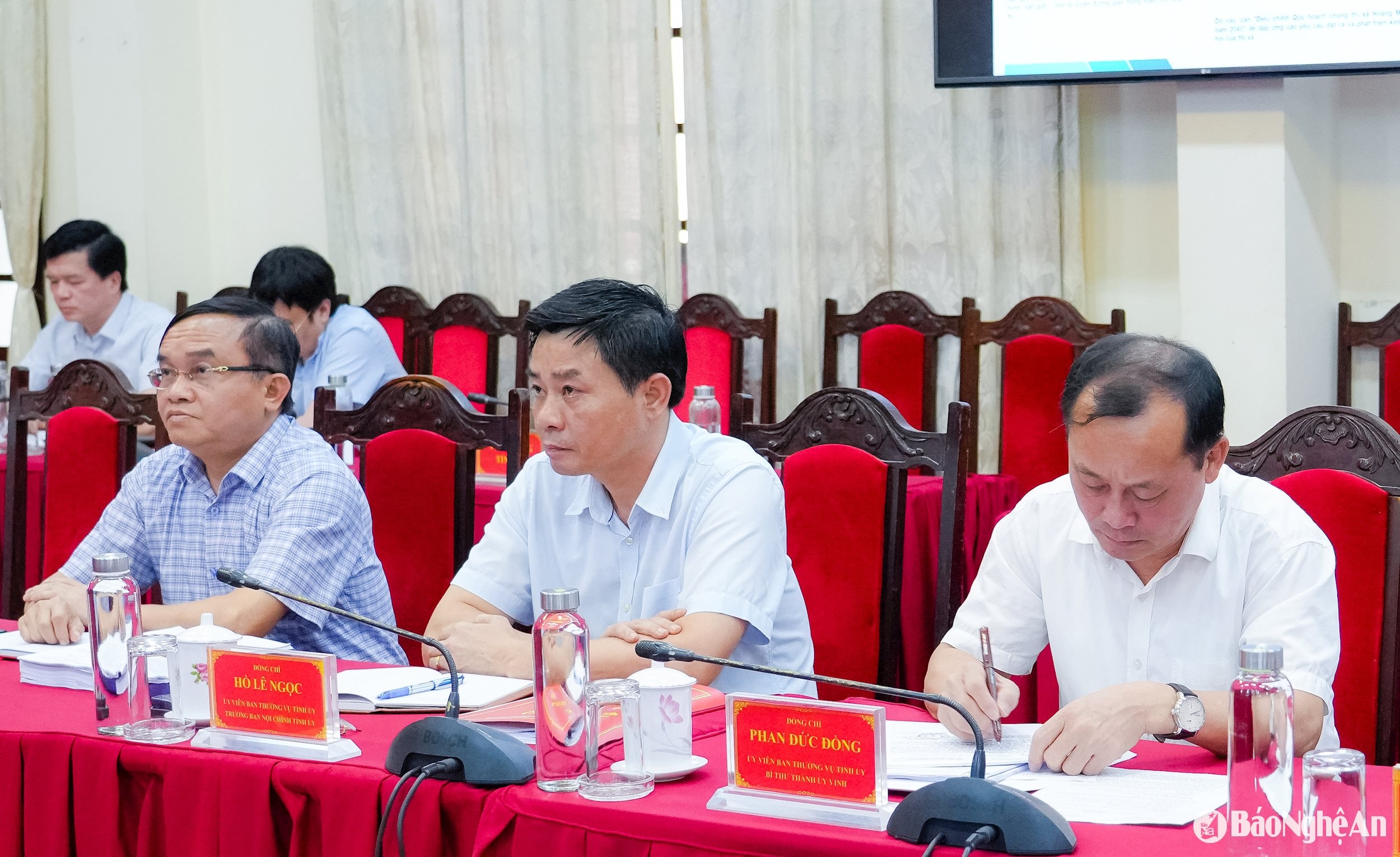
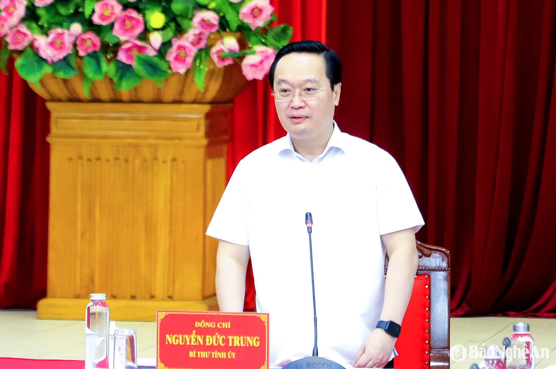
On the afternoon of May 30, comrade Nguyen Duc Trung - Secretary of the Provincial Party Committee chaired the meeting of the Provincial Party Committee Standing Committee.
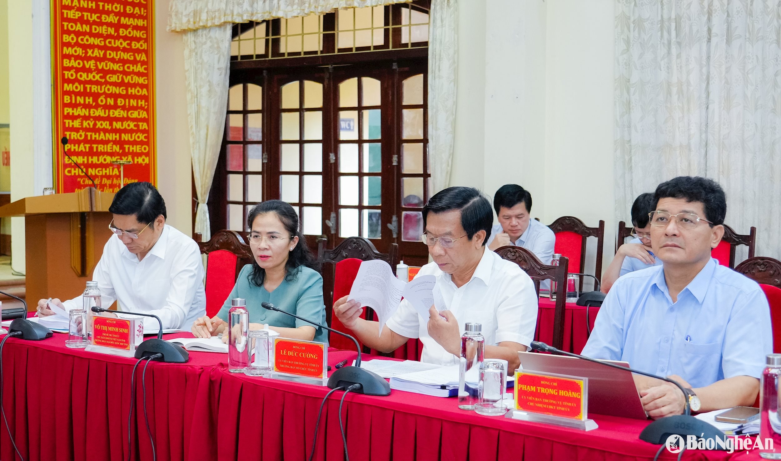
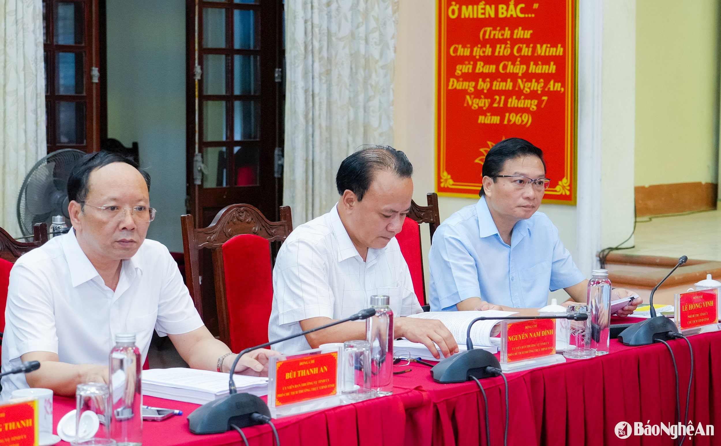
Attending the meeting were comrades: Hoang Nghia Hieu - Standing Deputy Secretary of the Provincial Party Committee, Chairman of the Provincial People's Council; Le Hong Vinh - Deputy Secretary of the Provincial Party Committee, Chairman of the Provincial People's Committee; Vo Thi Minh Sinh - Deputy Secretary of the Provincial Party Committee, Chairman of the Provincial Fatherland Front Committee, Head of the Provincial National Assembly Delegation; along with comrades in the Provincial Party Committee Standing Committee and leaders of a number of departments, branches, sectors, and Hoang Mai town.
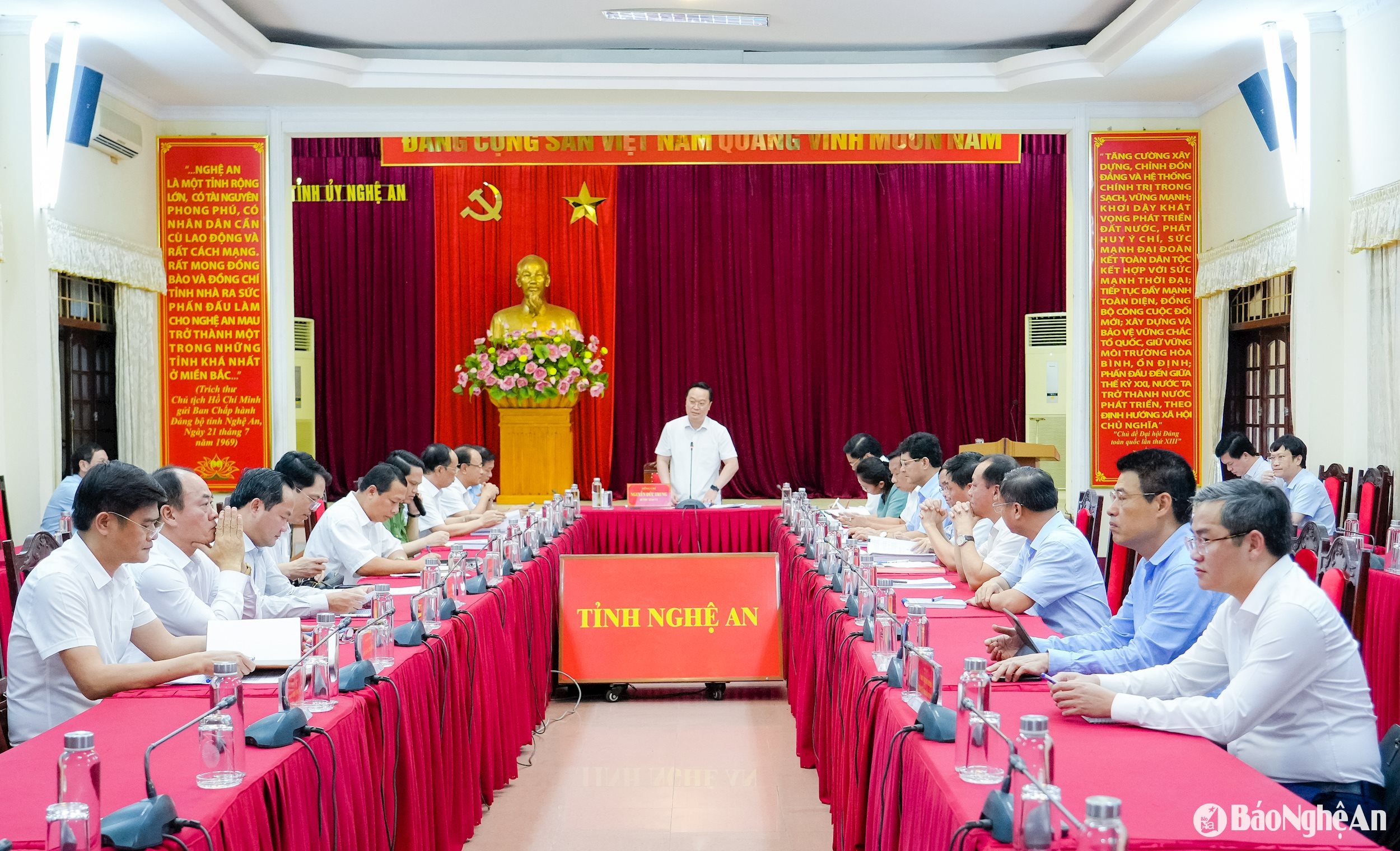
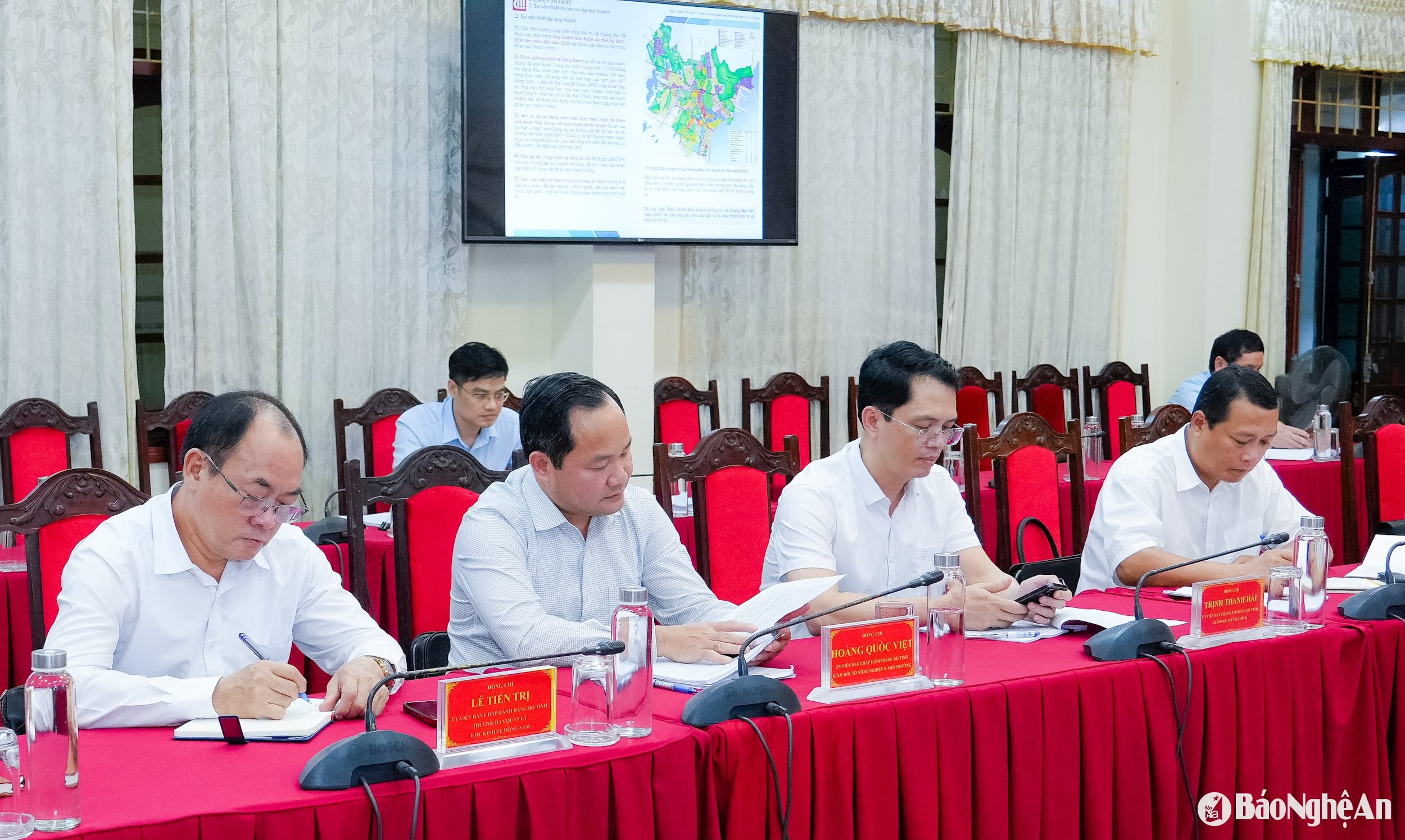
At the meeting, the Provincial Party Standing Committee listened to, commented on and approved the Project to adjust the general planning of Hoang Mai town until 2045.
The project to adjust the general planning of Hoang Mai town for the period up to 2030 was approved by the Provincial People's Committee in 2016. However, up to now, there have been a number of development orientations in the Provincial Planning with new content that need to be updated; a number of infrastructure projects through the town have an impact on the general planning project of the town, so they need to be adjusted.
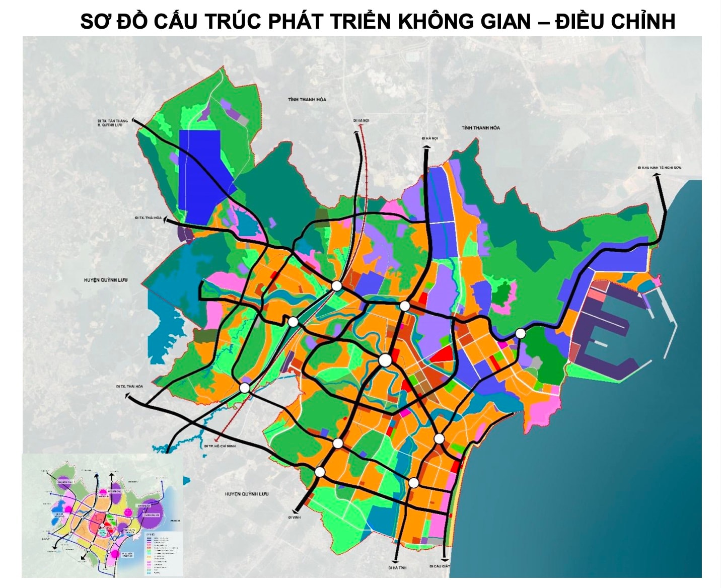
Accordingly, the scope and boundary of the adjusted planning includes the entire administrative boundary of Hoang Mai town with 10 wards/communes: Quynh Thien, Quynh Loc, Quynh Lap, Quynh Vinh, Quynh Trang, Quynh Phuong, Quynh Lien, Quynh Di, Mai Hung, Quynh Xuan, with a natural area of 17,178.37 hectares.
Regarding the urban development structure, Hoang Mai will develop with 5 vertical axes, 3 horizontal axes and 2 belt axes. Of which, 5 vertical axes include: Highway - high-speed railway axis; National Highway 1A axis; coastal highway axis; Western industrial - tourist landscape axis and coastal road axis.
3 horizontal axes, including: National Highway 48D axis and National Highway 48E axis. 2 belt axes, including: Existing urban development belt and expanded urban belt - tourist belt.
Based on spatial orientation, land use planning until 2030, the entire town is oriented to become urban, with no more suburban residents. Civil land serving urban residents is about 1,794.20 hectares, accounting for about 10.44% of the natural area, reaching the target of 99.68 m2/People.
Non-civil land: 3,359.91 ha, accounting for about 19.56% of the natural area. Agricultural land and other functions reach 12,024.26 ha, accounting for about 70.00% of the natural area.
By 2045, civil land serving urban residents will be about 2,444.32 hectares, accounting for about 14.23% of the natural area, reaching the target of 99.77m2/person. Of which: existing urban areas and urbanized villages reach 49.65m2/person; new residential land area reaches 44.19m2/People.
Non-civil land: 3,959.89 ha, accounting for about 23.05% of the natural area. Agricultural land and other functions reach 10,774.16 ha, accounting for about 62.72% of the natural area.
Regarding development zoning, Hoang Mai is oriented into 3 sub-zones with 3 separate functions. Zone 1 develops urban areas and sea tourism services, including the areas of the communes/wards: Mai Hung, Quynh Xuan, Quynh Phuong, Quynh Lien and part of the communes/wards: Quynh Di, Quynh Thien, Quynh Vinh and Quynh Trang with a total area of about 5,407.39 hectares.
Zone 2 develops industry and logistics, including the communes/wards of Quynh Lap, Quynh Loc and part of the communes/wards of Quynh Thien, Quynh Di and Quynh Vinh with a total area of about 9,264.02 hectares.
Region 3 develops eco-tourism, including part of the communes: Quynh Trang, Quynh Vinh with a total area of 2,506.96 hectares.
The project to adjust the general planning of Hoang Mai town until 2045 also orients the development of technical infrastructure systems. In particular, adding National Highway 48E connecting Hoang Mai - Quynh Luu - Thai Hoa; adding Provincial Road 538 connecting from National Highway 48D through Hoang Mai II Industrial Park to Quynh Luu district.
In addition, Dong Hoi port will be upgraded with a capacity of 4-6 million tons/year, with a ship capacity of 50,000 - 70,000 tons and liquid and gas cargo ships with a capacity of up to 150,000 tons; and Quynh Loc Port Area will be added.
The adjustment of the master plan of Hoang Mai town to 2045 aims to ensure that the town meets 63/63 criteria for a type III urban area according to Resolution 1210 in 2016 and Resolution No. 26 in 2022 of the National Assembly Standing Committee.
Hoang Mai town is located in the Nam Thanh - Bac Nghe region, identified as a key area in the coastal plain economic zone, including Nghi Son town, Nong Cong and Quynh Luu districts.
In the Nghe An Provincial Planning for the period 2021 - 2030, with a vision to 2050, Hoang Mai urban area is determined to be the center of region 2 including Hoang Mai - Quynh Luu, the central urban area, the northern gateway of Nghe An province.
The Southeast Nghe An Economic Zone has been expanded to 20,776.47 hectares, including 3 Industrial Parks located in Hoang Mai town: Hoang Mai I Industrial Park with a total area of 264.77 hectares; Hoang Mai II Industrial Park with a total area of 334.69 hectares; Dong Hoi Industrial Park with a total area of 600 hectares.
-5c23beb54ff8f6650a54fc0c9395924c.jpg "Bí thư Tỉnh ủy Nguyễn Đức Trung: Kính trọng, tự hào về Bác, nỗ lực xứng đáng là quê hương của Bác")


