Economy
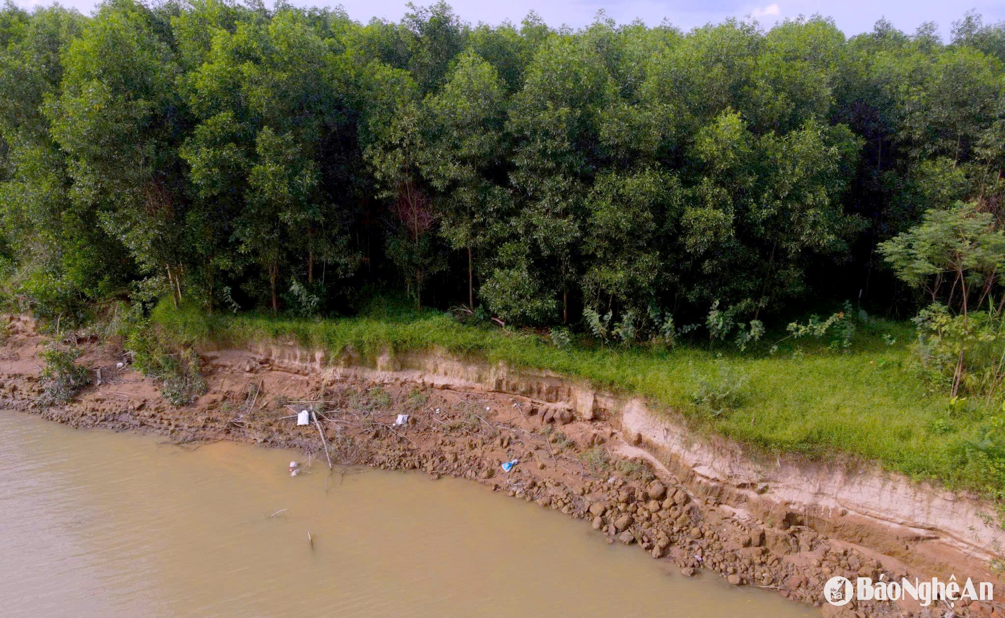
A close-up view of the severe landslide along the Lam River.
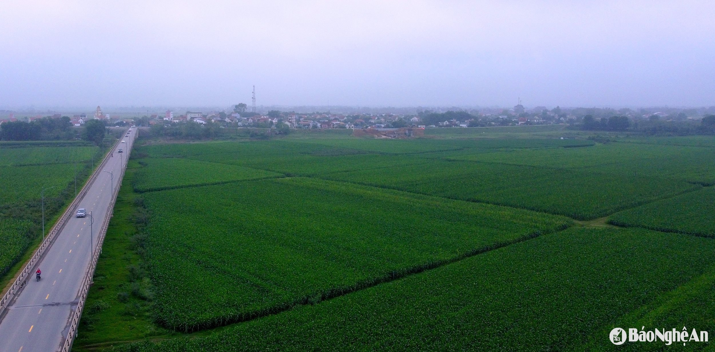
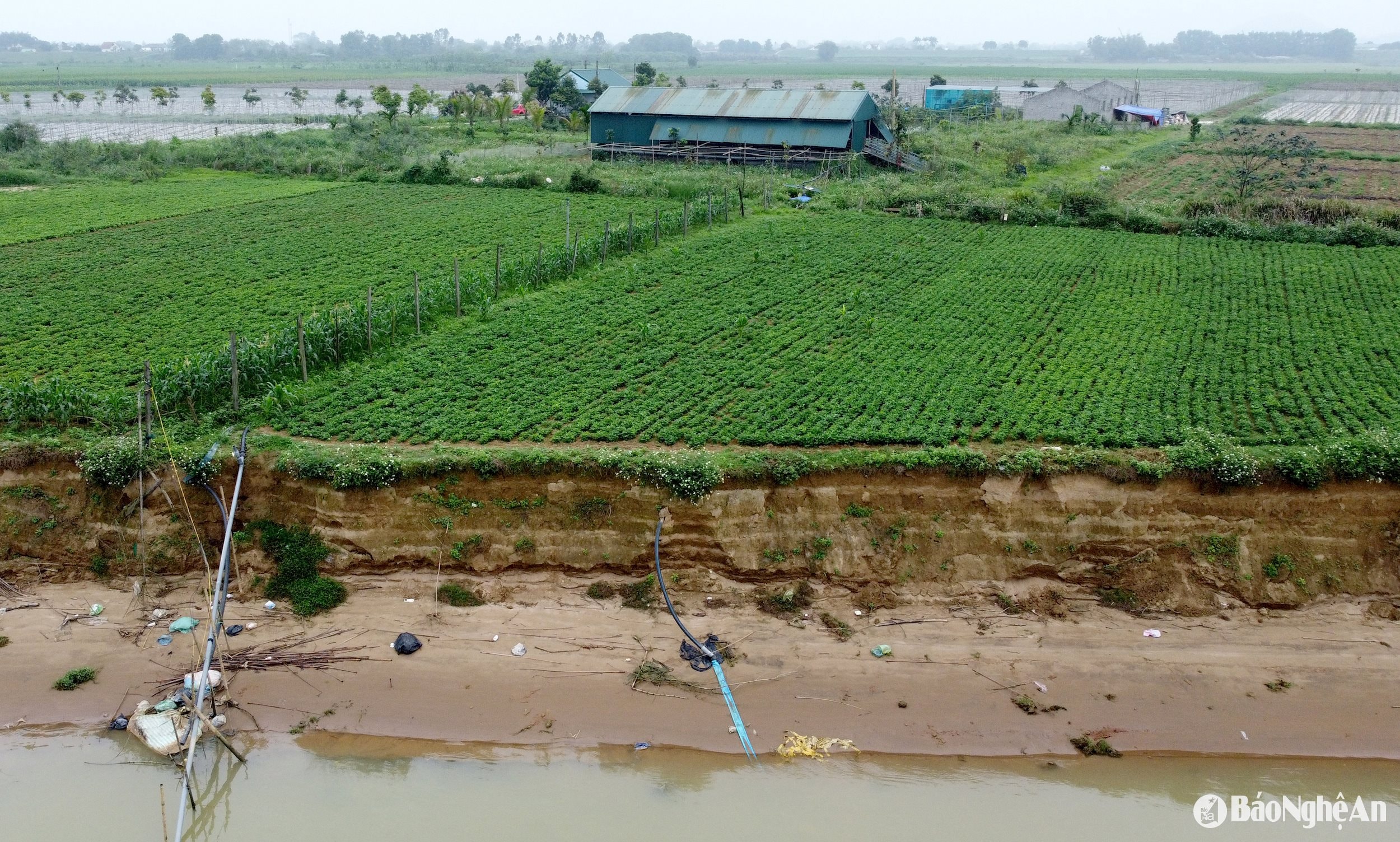
The erosion of the Lam River banks in the districts of Hung Nguyen and Nam Dan is becoming increasingly complex. Residents helplessly watch as thousands of square meters of land are gradually washed away by the water.
.jpg)
.jpg)
.jpg)
.jpg)
.jpg)
.jpg)
.jpg)

