
Determining the origin of the name Tuong Duong
The name "Tuong Duong" dates back to March of the year Ky Suu, the 10th year of the Quang Thuan reign (1469). Besides being the first time the name appeared, Tuong Duong also first appeared as a district-level administrative unit under the prefecture, signifying a unit equivalent to the modern-day Tuong Duong district.
Historically, the division of administrative units and their naming conventions has been a crucial aspect of any nation. Throughout our country's history, from its founding to the present day, the division of administrative units and changes in naming conventions have varied, but all stemmed from the need to manage, protect, and build a state that represents a sovereign nation, leaving a profound mark on the nation's history and culture.
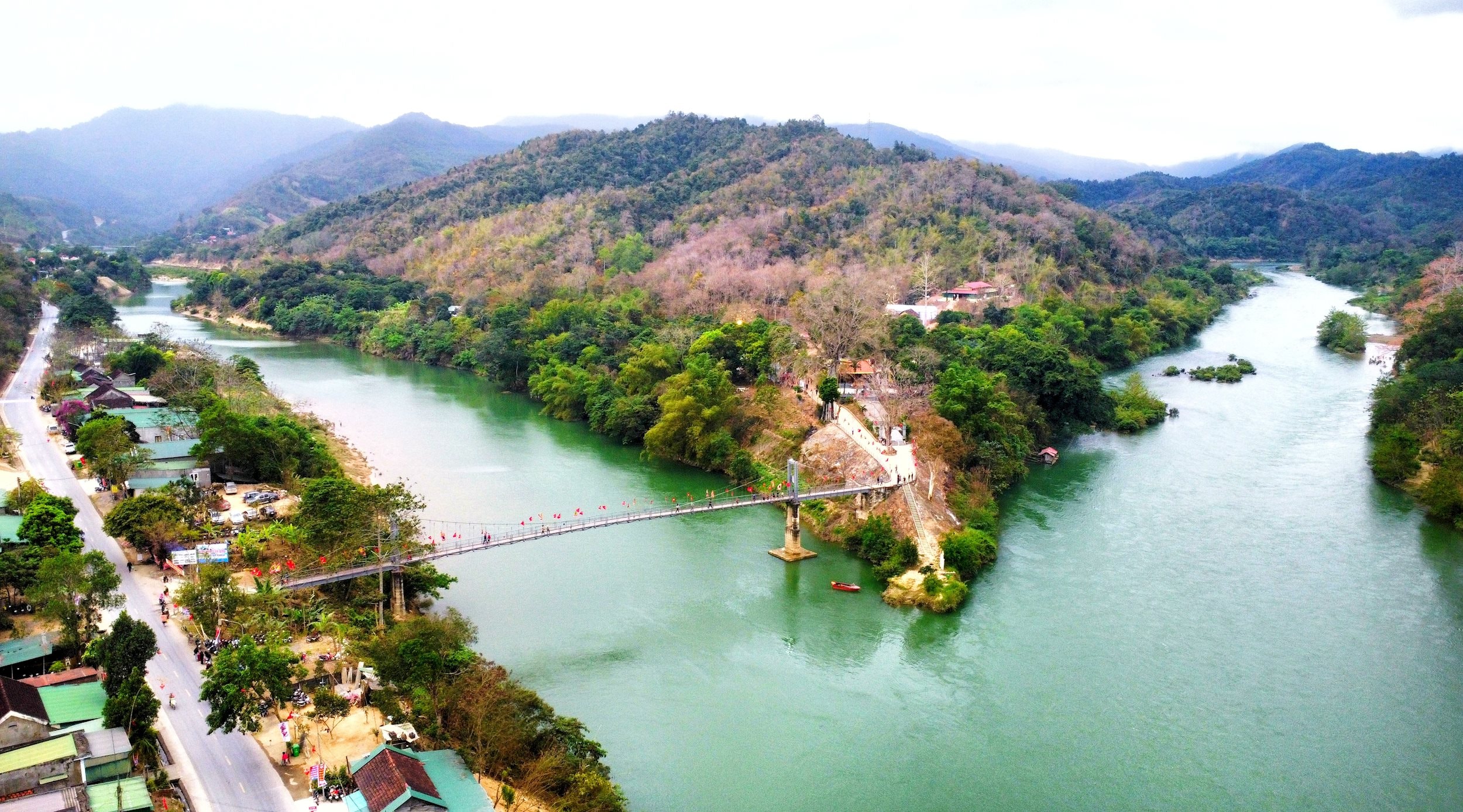
Tuong Duong is a mountainous district in the western part of Nghe An province, and currently the largest district-level administrative unit in Vietnam in terms of area. Tuong Duong is home to many ethnic groups, including the Thai, Khmu, Mong, O Du, Tay Pong, and Kinh, each with their own customs and languages, living together in an ancient land with a long-standing cultural tradition. In addition, the locality boasts numerous historical relics associated with many famous figures in national history, such as Uy Minh Vuong Ly Nhat Quang and the renowned scholar Doan Nhu Hai, creating a community with a rich history and strong identity. Therefore, researching and determining the exact year the name Tuong Duong originated is a fervent desire of the district's Party Committee and people.
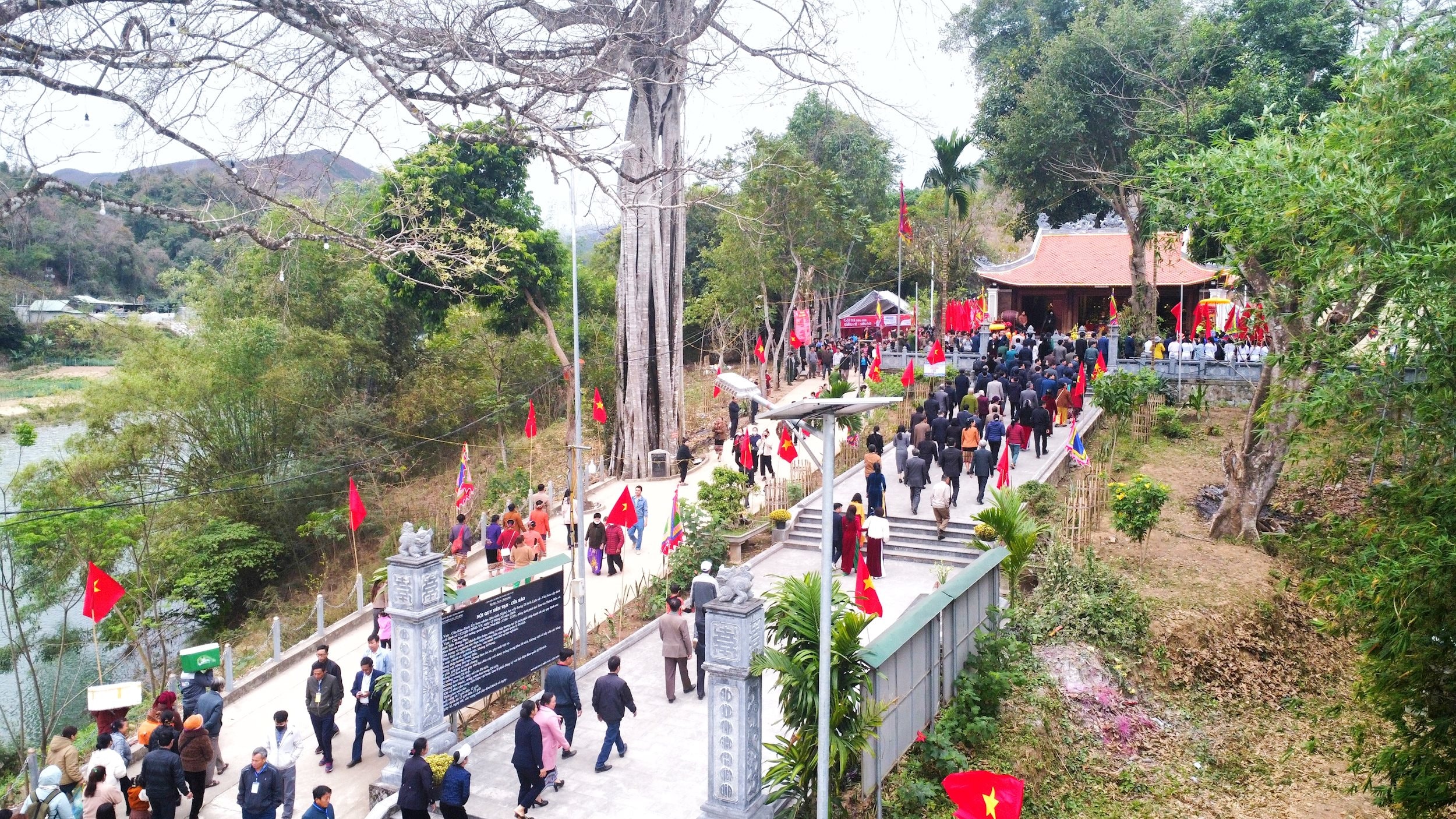
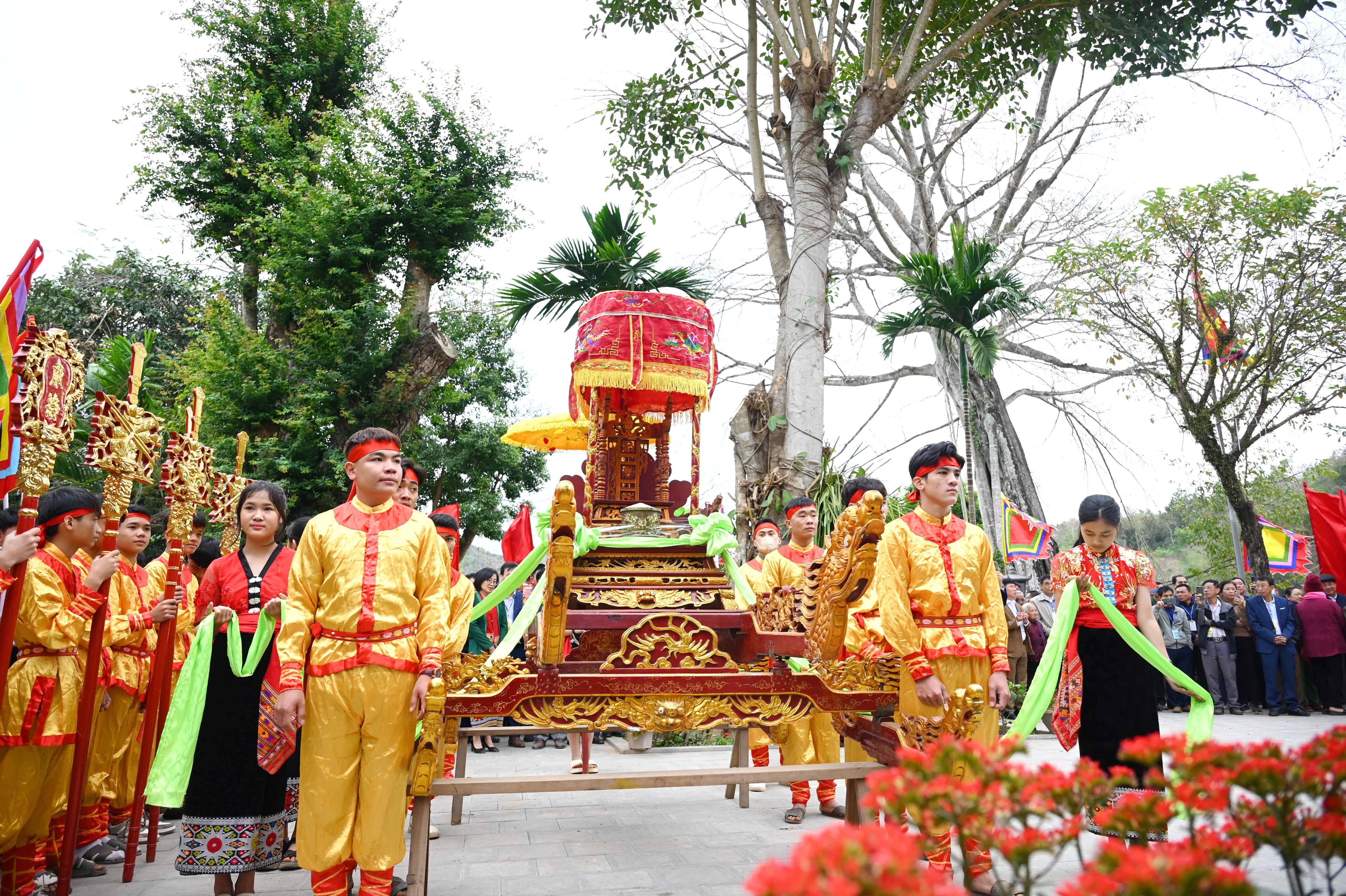
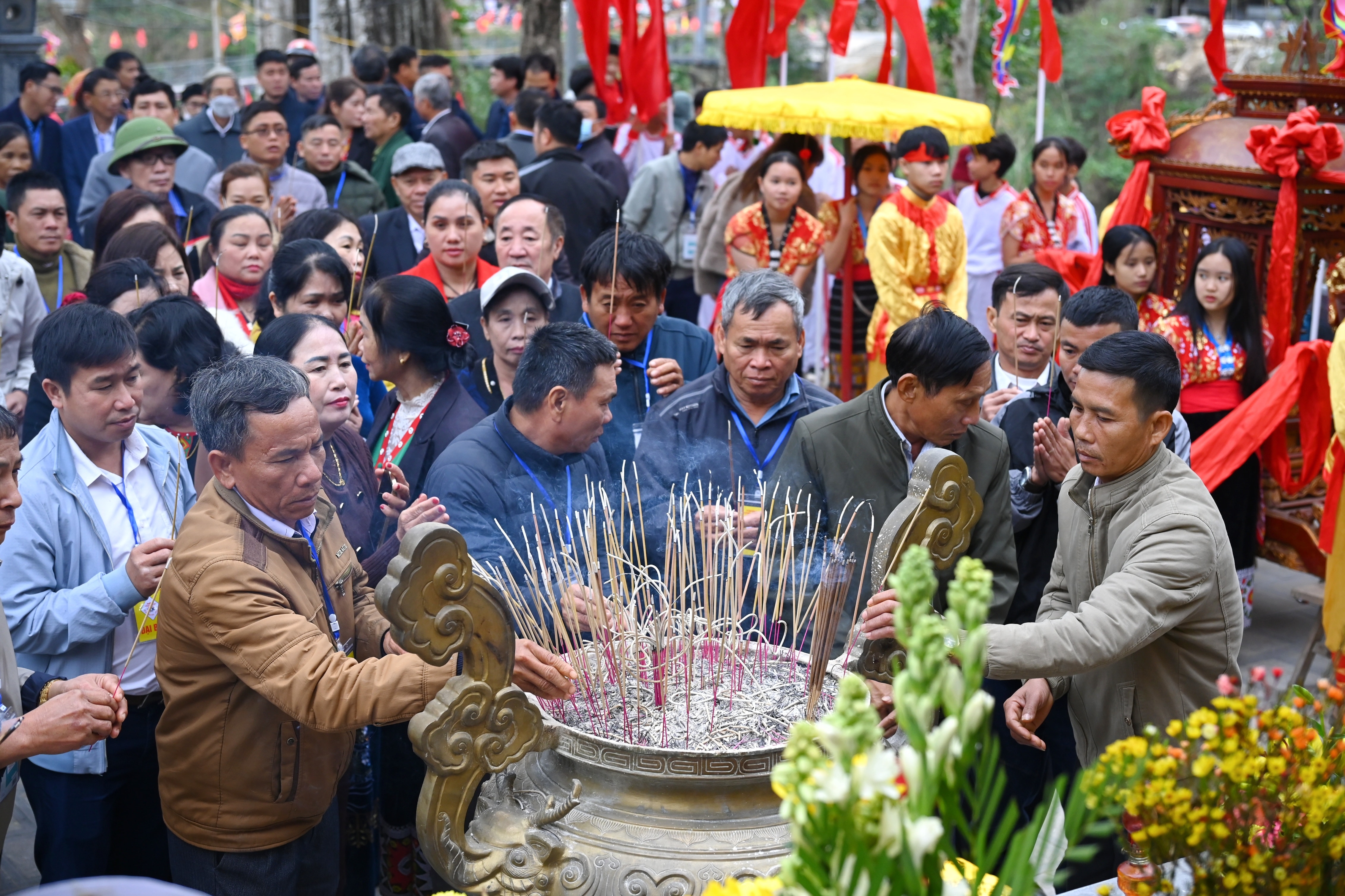
On January 12, 2022, the Department of Science and Technology, in coordination with the Vietnam Historical Science Association and the People's Committee of Tuong Duong District, organized a scientific conference on "The Name Tuong Duong". The conference was chaired by: Assoc. Prof. Dr. Tran Duc Cuong - President of the Vietnam Historical Science Association; Mr. Tran Quoc Thanh - Director of the Department of Science and Technology; and Mr. Lo Thanh Nhat - Vice Chairman of the People's Committee of Tuong Duong District. Also attending were: Mr. Lu Van May - Standing Deputy Secretary of the Tuong Duong District Party Committee; representatives from the Institute of Han Nom Studies, the Vietnam Institute of History, Hanoi University of Education, etc. The conference chair and delegates generally agreed that in 1469, the name Tuong Duong officially appeared as a district-level administrative unit, under the jurisdiction of Tra Lan Prefecture.
On November 11, 2022, the People's Committee of Tuong Duong District, the Vietnam Historical Science Association, and the Provincial Center for Social Sciences and Humanities organized the second scientific conference to determine the name of Tuong Duong. Professor Dr. Tran Duc Cuong - Chairman of the Vietnam Historical Science Association, and Mr. Lo Thanh Nhat - Vice Chairman of the People's Committee of Tuong Duong District, co-chaired the conference. The conference received and listened to many opinions and discussions, especially those from experts, researchers, district leaders, and former district leaders from various periods. In summary, 10 reports were submitted to the conference on the content of the name Tuong Duong; and 8 reports were submitted on the content of Tuong Duong: Land and People. Thirteen opinions were expressed in the conference hall on the first topic and three on the second. At this conference, new proposals emerged, with many opinions on determining the starting point for the name Tuong Duong. Experts and delegates cited numerous valuable works to support their proposals, such as:Geographical records, Historical records of the dynasties, Hong Duc map, Official chronicle of Dai Nam, Imperial decree on the laws and regulations of Dai Nam, Complete history of Dai Viet…
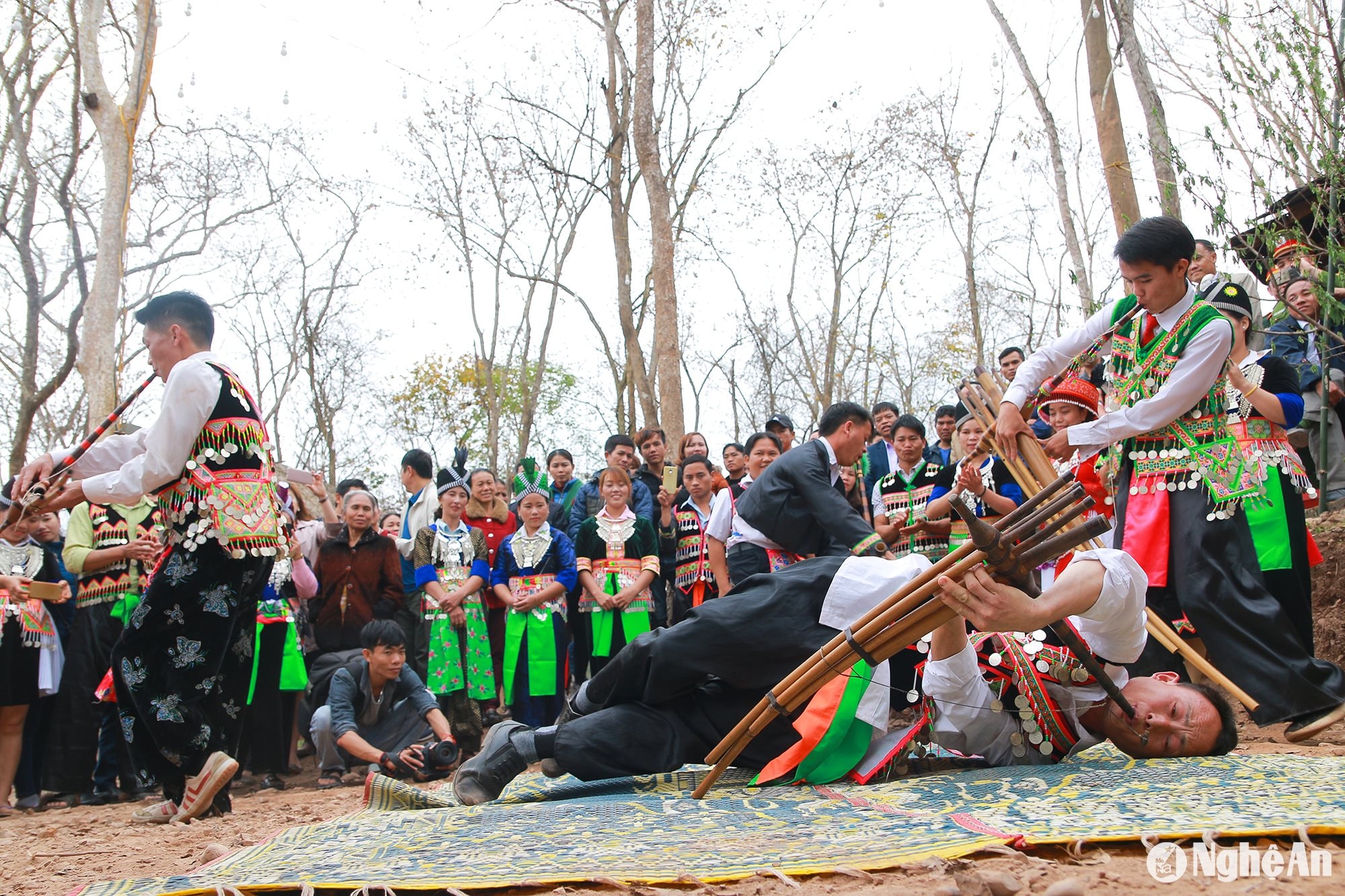


Reiterating once again the need to understand and determine the historical origin of the name Tuong Duong, this is a fervent desire of the Party Committee and people of Tuong Duong district. To accurately understand the connection between the name Tuong Duong and historical events in the nation's history, as well as the historical evolution of a district with unique characteristics as a mountainous region like Tuong Duong, requires thorough research and the collective intelligence of scientists and researchers to shed light on the issue.
With a serious and responsible approach, the workshop chairman requested that the following issues be clearly separated: identifying the name Tuong Duong and Tuong Duong in history as an administrative unit of the Vietnamese state during the monarchical period. These two dates do not completely coincide; therefore, the dates raised by the delegates need careful consideration. The workshop has not yet reached a conclusion regarding the exact time when the name Tuong Duong originated, as there are many conflicting opinions on this matter.
Thus, at this second workshop, there was still no consensus among the opinions, preventing a conclusion from being reached. However, we continue to defend the 1469 timeframe as presented at the first workshop and reaffirmed it at the second workshop. In addition, we would like to refute other timeframes, specifically as follows:
Regarding the year 1334Mr. Hoang Kiem, Deputy Director of Phuong Nam Plus Center, stated that"Taking 1334 as the year the name was first mentioned, based on the book 'Lich Trieu Hien Chuong Loai Chi' (Historical Records of Dynastic Constitutions)."(A detailed article is included).
This view is incorrect, because 1334 was during the Khai Huu era of the Tran Dynasty. Under the Tran Dynasty, the entire area from Con Cuong to Ky Son (today) had a single common name: Mat Chau. This is clearly shown in the stele inscription.Ma Nhai Ky Cong Bi VanThis stele was composed and inscribed on the cliff of Thanh Nam in the 7th year of Khai Huu (1335) by Hoang Giap Nguyen Trung Ngan to commemorate the victory of Emperor Emeritus Tran Minh Tong against the Lao army. To this day, after nearly 700 years, the inscription on this stele still retains its original character. First, we translate the full text as follows:
皇越陳朝第六帝章堯文晢太上皇帝受天眷命奄有中夏薄海內外罔不臣服蕞爾哀牢猶梗王化歲在乙亥季秋帝親帥六師巡于西鄙占城國卋子真臘國暹国及蠻酋道臣葵禽車勒新附杯盆蠻酋道聲車蠻諸部各奉方物爭先迎見獨逆俸執迷畏罪未即來朝季冬帝駐蹕于密州巨屯之原乃命諸將及蠻夷之兵入于其國逆俸望風奔竄遂降詔班師旹開祐七年乙亥冬閏十二月日勒石
Transcription:
The sixth emperor of the Tran Dynasty, Emperor Chuong Nghieu Van Triet, received the mandate of Heaven, commanding all the loyal subjects, both domestic and foreign, throughout the vast ocean. The most prominent was Laos, ruled by a rebellious king. In the autumn of the year of the Pig (1785), the emperor personally led six armies on a tour of the West. The crown prince of Champa, the kings of Chenla and Siam, and the barbarian tribesmen of Kui, Cam, Xa, and Lac, as well as the newly appointed Boi Bon and Thanh Xa tribesmen, each offered gifts and vied to be the first to greet him. However, the rebellious Bong, guilty of treason and fear, did not immediately come to court. In the winter, the emperor resided in the region of Mat Chau and Cu Don. He then ordered his generals and barbarian troops to enter their country. The rebellious Bong, fearing the wind, fled, and was immediately ordered to return with his army. This was the seventh year of the Khai Huu Dynasty, the winter of the Pig (1785), the intercalary twelfth month, the day of the lacquer stone.
Translation:
During the reign of the sixth Trần dynasty king of Hoàng Việt, the Supreme Emperor Chương Nghiêu Văn Triết, blessed by Heaven, ruled over all four realms, throughout the land and sea, with no one daring to disobey him. Yet, the insignificant Ai Lao (Laos) defied the court's teachings. In late autumn of the year Ất Hợi (1755), the Supreme Emperor led six armies on a patrol in the western territories. The crown princes of Champa, Chenla, and Siam, along with the tribal chiefs Quỳ, Cầm, Xa, and Lặc, and the newly subjugated tribes of Bôi Bồn and Thanh Xa, all offered local products and vied to welcome him. Only the bandit Bổng remained ignorant and afraid of punishment, refusing to pay homage immediately. In late winter, the Supreme Emperor encamped in the Cự Đồn plain of Mật Châu and ordered his generals and barbarian soldiers to attack Bổng's stronghold. Hearing of the Emperor's might, Bổng fled, and the Supreme Emperor issued a decree to withdraw his troops. The leap month of December, winter, the year of Ất Hợi, the 7th year of the Khai Hựu era, is inscribed on stone.
This stele clearly states the date as "the 7th year of the Kaiyou era," which is 1335. If Xiangyang was founded in 1334, why does this stele not write "Xiangyang" but instead "Mianzhou"?
Furthermore, we consulted the original Chinese text of the book.Historical Records of Dynastic ConstitutionsIt is evident that author Phan Huy Chú clearly wrote the three characters 襄陽縣 “Tương Dương huyện”. Through these three characters, we can see that Phan Huy Chú used a current name to refer to a past place name. During the Trần dynasty, the entire area from Con Cuông to Kỳ Sơn was collectively called Mật Châu, and there was no administrative unit called a “district”. Therefore, we assert that the year 1334 was the year the name Tương Dương originated is completely inaccurate.
.jpg)


Regarding the year 1435:Mr. Lu Van May - Standing Deputy Secretary of the Tuong Duong District Party Committee: TBased on the source material from Nguyen Trai's "Geography of Vietnam," it is suggested that 1435 should be taken as the earliest year the name was mentioned.(A detailed article is included).
This view is incorrect. The book "Dư địa chí" (also known as "Ức Trai di tập Nam Việt dư địa chí", "Đại Việt địa dư chí", "An Nam vũ cống", "Nam Quốc vũ cống", or "Lê triều cống pháp" is a geographical treatise compiled in Chinese characters in 1435 by Ức Trai Nguyễn Trãi, a renowned official of the Later Lê Dynasty. It provides a brief overview of the administrative and natural geography of Vietnam throughout various historical periods. However, the original copy is no longer extant. The currently circulating version of "Dư địa chí" is a printed edition from the year Mậu Thìn (1868), during the reign of Emperor Tự Đức. Therefore, this book has been revised by later generations. The text has been modified and supplemented many times, causing it to lose its original character. For example, names like Hai Duong, Son Tay, Son Nam, Kinh Bac... all appeared after the time of Nguyen Trai. Therefore, historically in Vietnam, no locality or researcher has ever used the "Geography of Vietnam" to determine the exact origin of these names.
Regarding the year 1448:Mr. Luong Thanh Hai, former Secretary of the Tuong Duong District Party Committee, stated:The district of Tuong Duong was already named in 1448. The source material is the article "The History of the Name Nghe An in the World Documentary Heritage of Nguyen Dynasty Woodblock Prints" by Tran Trung Hieu - Phan Boi Chau High School for the Gifted and Tran Minh - National Archives Center IV.(Detailed article included).
This date is completely inaccurate. The authors of the aforementioned article, while conducting research, did not use original documents but only referenced translations. In this article, the authors mixed up the time period from the 9th year of the Quang Thuan reign (1469) and the 6th year of the Thai Hoa reign (1448) in the footnotes. During the 6th year of the Thai Hoa reign, there was no change in administrative units or mapmaking; the event of "the king making the map of the 12 provinces as follows" mentioned in the article accurately belongs to the 9th year of the Quang Thuan reign (1469).
Regarding the year 1821:Mr. Vi Luu Binh - former Deputy Secretary and Chairman of the District People's Committee - argues that the 1469 milestone is unconvincing and should date back to 1821 (Detailed article attached).
This date is completely inaccurate, because before 1821, the name Tuong Duong appeared frequently in the official histories of the Nguyen dynasty. Here are a few examples:
In the year of Nhâm Tuất, the first year of Gia Long [1802], the Tây Sơn rebels were completely subdued, taking all of An Nam land, including 14 provinces, 47 prefectures, 187 districts, and 40 sub-districts. (Nghệ An province had 9 prefectures: Đức Quang, Diễn Châu, Hà Hoa, Anh Đô, Trà Lân, Quỳ Châu, Trấn Ninh, Lâm An, Ngọc Ma; and 18 districts: Hương Sơn, Nghi Xuân, Thanh Chương, La Sơn, Chân Lộc, Thiên Lộc, Đông Thành, Quỳnh Lưu, Kỳ Hoa, Thạch Hà, Nam Đường, Hưng Nguyên,Tuong Duong, Vinh Hoa, Hoi Nguyen, Ky Son, Thuy Van, Trung Son.
In the year Quy Hoi, the second year of Gia Long [1803], Chieu Noi in Tran Ninh requested to be incorporated. Previously, the king went from Gia Dinh to attack the North, and the chieftain of the Vientiane Kingdom, Chieu An, repeatedly sent troops to accompany the royal army in the upper region to fight the enemy. When the North was pacified, the king gave Tran Ninh land to him. Now, the chieftain of Tran Ninh, Chieu Xanh, has died, and Chieu An has appointed his cousin, Xa Cuong, to replace him in governing the people. Chieu Xanh's son, Chieu Noi, did not submit and fled with 600 followers to Tra Lan (i.e.,Tuong DuongThe matter was reported. The King ordered the Governor of Nghe An to distribute over 200 measures of rice.
In the year Mau Thin, the 7th year of Gia Long [1808], in June, Luu Phuoc Tuong was again appointed as the governor of Quang Binh, and Le Van Luan was summoned back to the capital. The position of chief district magistrate of the districts belonging to Quy Chau and Tra Lan was changed to district magistrate, and deputy district magistrate to district clerk. The governor of Nghe An saw that the chief and deputy district magistrates in the four districts belonging to Tra Lan prefecture (Ky Son, Hoi Nguyen,Tuong Duong(Vinh Hoa) and two districts belonging to Quy Chau prefecture (Trung Son, Thuy Van) had worked for a long time, so they petitioned for a royal decree. The King granted it. He then ordered a change in their positions to conform to the official hierarchy.
In the year of Ky Mao, the 18th year of Gia Long [1819], in the leap month of April, an order was issued to Nghe An, Thanh Hoa, and Thanh Binh to register households… up to four districts.Tuong DuongVinh Hoa, Hoi Nguyen, Ky Son belonging to Tra Lan prefecture; the four districts of Tho Xuan, Lang Chanh, Quan Gia, and Tam Chau belonging to Thanh Do prefecture; the two districts of Thach Thanh and Cam Thuy belonging to Thieu Hoa prefecture; Ham Man hamlet belonging to the two districts of Trinh Cu and Son Thoi; Lac Tho district belonging to Thien Quan prefecture; along with seven upper-region communes of Quynh Luu district; and sixty thousand people living on the water surface belonging to Dong Thanh district, are all allowed to retain their old records.

Therefore, the four aforementioned timeframes are completely illogical and inaccurate. History is about the past, so no one can see or hear firsthand what happened in the past. Thus, if we want to know what history was like, we can only rely on reliable documents and witnesses through original evidence and primary documents. "Original" means that the document has never been copied or rewritten. More importantly, the document must have directly participated in the event being discussed. All the historical evidence in the aforementioned article does not directly participate in the events it refers to. Therefore, its reliability is lower than that of original evidence and primary documents. Even the 1469 timeframe that we presented and affirmed at both the first and second conferences is not original evidence or primary documents; it is recorded in books.Imperial Annotated Comprehensive History of VietnamIt was compiled during the Nguyen Dynasty.
SetImperial Annotated Comprehensive History of VietnamCompiled relatively late, around the end of the 19th century, its system of references...OutlineThere are over 200 sets of books, including unofficial histories, poetry, works by Le Quy Don, Phan Huy Chu... and historical books from China. In particular,OutlineIt was also consulted and based on many other historical sources such asComplete Chronicle of Dai Viet, Continuation of the Chronicle of Dai VietThis work, with references to Chinese and other Vietnamese historical texts, is written in the "summary" style of Zhu Xi of the Song Dynasty. It is divided into "summary" (a concise and clear summary) and "section" (a more detailed and specific account), recording historical events in chronological order (year, month, day), biographies of figures, critical assessments of certain events, figures, and dates based on research of Vietnamese and Chinese historical texts and documents, annotations on names of people and places, examination systems, administrative organization, and scattered comments by Emperor Tu Duc.
Therefore,Imperial Annotated Comprehensive History of VietnamIt is the second largest historical work of Vietnam, incorporating many achievements of previous historians while also making many valuable contributions of its own to historiography. Researchers today all agree that...See Dai Viet History ChronicleandImperial Annotated Comprehensive History of VietnamThese two important historical works serve as a starting point for researching related issues in Vietnamese history.OutlineIt has "carefully rectified" many major and minor events in history that previous historical records did not mention, or recorded but incorrectly.
For example, regarding the event of Emperor Emeritus Tran Minh Tong personally leading an expedition against Laos, the Complete History records the location as "Kiem Chau," but the inscription on the Ma Nhai commemorative stele states the location as "Mat Chau"; the Complete History records the time as the year Giap Tuat, but the inscription on the Ma Nhai commemorative stele records it as the year At Hoi. These are discrepancies in data.OutlineThe written text is identical to the inscription on the stele at the site, hence the cautionary words.OutlineThat is absolutely correct. We believe that the event of King Le Thanh Tong mapping the entire country in the 10th year of Quang Thuan (1469) inOutlineIt is entirely scientifically sound and credible.
OutlineIt is recorded that in March of the year Ky Suu, the 10th year of the Quang Thuan reign (1469), King Le Thanh Tong established the national map and set up 12 provinces. Among them, the Nghe An province governed all 8 prefectures, 18 districts, and 2 sub-districts. Specifically as follows:
1. Duc Quang Prefecture governed 6 districts: Thien Loc, La Son, Chan Phuc, Thanh Chuong, Huong Son and Nghi Xuan;
2. Dien Chau Prefecture administered two districts: Dong Thanh and Quynh Luu;
3. The Anh Do Prefecture administered two districts: Hung Nguyen and Nam Duong;
4. Ha Hoa Prefecture governed two districts: Thach Ha and Ky Hoa;
5. Tra Lan Prefecture governed four districts: Ky Son, Tuong Duong, Vinh Khang, and Hoi Ninh;
6. Quy Chau Prefecture administered two districts: Trung Son and Thuy Van;
7. The Ngoc Ma Prefecture governed one province: Trinh Cao;
8. The Lin'an Prefecture governed one province: Quy Hop.
Most notably, a piece of information that few people pay attention to but is crucial in confirming the date of origin of the name Tuong Duong is that almost all the names of districts in Nghe An and Ha Tinh provinces (such as Tuong Duong, Thanh Chuong, Hung Nguyen, Nghi Xuan, etc.) were established around 1469.
During the Tran Dynasty, the names of some localities were as follows:
Nha Nghi (present-day Nghi Xuan),
Phi Loc (now Can Loc),
Do Gia (present-day Huong Son),
Chi La (present-day Duc Tho),
Tan Phuc (between present-day Dien Chau and Nghi Xuan),
Thổ Du (present-day Thanh Chương),
Kệ Giang (part of present-day Thanh Chương district),
Thổ Hoàng (present-day Hương Khê).
Ha Hoang (part of present-day Thach Ha),
Ban Thach (part of present-day Thach Ha),
Ha Hoa (now Ky Anh),
Ky La (part of present-day Ky Anh)
Thach Duong (part of present-day Nam Dan),
Dong Ngan (present-day Dong Thanh),
Lo Binh (present-day Hung Nguyen),
Sa Nam (part of present-day Nam Dan).



We see that the names from the Tran Dynasty mentioned above were all changed and renamed after King Le Thanh Tong established the national map in the 10th year of Quang Thuan (1469). To commemorate this significant event, in the year of Canh Dan, King Le Thanh Tong also changed the reign name from Quang Thuan to Hong Duc. Reforming the local government system was always a matter of concern for the Vietnamese feudal dynasties. In Vietnamese history, the reforms of the local government system under King Le Thanh Tong (Le Dynasty) and King Minh Menh (Nguyen Dynasty) are considered the most extensive and successful, and have largely survived to this day.Therefore, we can confirm that the name "Tuong Duong" dates back to March of the year Ky Suu, the 10th year of the Quang Thuan reign (1469). Besides being the first time the name appeared, Tuong Duong also first appeared as a district-level administrative unit under the prefecture, signifying a unit equivalent to the modern-day Tuong Duong district.What is even more remarkable is that this map-making process also coincided with the creation of many other local names in Nghe An province, such as Hung Nguyen, Thanh Chuong, Nam Duong, Dong Thanh, Quynh Luu, etc., all of which were established in 1469.


